
What is recorded here
Enclosure in Ballynagappagh (clane Ed) is a vanished oval boundary in County Kildare, Ireland, recorded through cropmarks rather than soil marks. It lay among other ancient features on a gentle slope, yet ploughing and potato planting removed its visible edge. The place still matters because human hands shaped it, forgot it, and temporarily erased it before memory returned through shadow and image.
In tillage at the S foot of a very gentle, S facing slope. A rath (KD014-002----) and an enclosure (KD014-009----) lie immediately to the N and there is a third enclosure (KD014-003----) immediately to the SE. Aerial photographs (CUCAP AVO 83, 84. 1968) show the cropmark of a fosse defining an oval area (est. diam. c. 30m), now ploughed over and sown with potatoes, leaving no visible surface trace, although sub-surface features may survive intact.
Compiled by: Gearóid Conroy
Date of upload: 10 June 2011
The monument record does not grant public access. Check the route and ask the landowner before entering private land.
- What survives
- Recorded monument
Places near here
 Enclosure in Ballynagappagh (clane Ed)Enclosure · 129 yd
 Loughanure MoatEnclosure · 947 yd
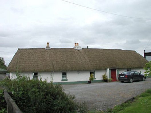 farm housefarm house · 1095 yd
 Queen Buans GraveCastle, motte and bailey · 1658 yd
 Burial GroundRuins · 1716 yd
 1798 Rebellion MemorialMemorial · 1.1 mi
 CastleCastle, tower house · 1.3 mi
 Venerable Fr John Sullivan MemorialMemorial · 1.3 mi
 Dunne's IslandWood · 1.8 mi
 Grand Canal WayWalking route · 1.8 mi
 The Kildare MazeHeritage attraction · 2.3 mi
 Loughtown CovertWood · 2.6 mi
Other information
Photo: Credit not shown in the picture search · Rights wording not checked; contact us if this picture should be removed