
What is recorded here
Enclosure in Ballynagappagh (clane Ed) is a lost oval boundary in County Kildare, now hidden beneath pasture and tillage except for a recut stream and narrow earthen bank. It may have measured ninety metres north-south and sixty east-west, large enough to hold herds, rituals or an entire neighbourhood of lives. The rath and two smaller enclosures nearby suggest this was not a random ditch but a shaped place, perhaps marked by descent, ownership or memory. What is gone can still be felt in the curve of the field edge and the patience of the land.
In open, level, mixed pasture and tillage, with a rath (KD014-002----) and two enclosures, (KD014-004---- and KD014-009----) upslope immediately to the NW of the monument. A 1968 aerial photograph (CUCAP AVO 83) shows a large oval area (est. max. diams c. 90m N-S; c. 60 E-W) defined by a broad fosse which is incorporated into a later field boundary WNW-N-ENE. This curving boundary survives as a broad, recut, E-flowing stream (Wth 3.2m; D 1.8m) with a low, narrow, hedged, earthen bank (Wth 1.6m; H 0.2m) on its S side. The field immediately to the S is under pasture and there is no visible surface trace of the rest of the monument but sub-surface features may survive intact.
Compiled by: Gearóid Conroy
Date of upload: 10 June 2011
The monument record does not grant public access. Check the route and ask the landowner before entering private land.
- What survives
- Recorded monument
Places near here
 Loughanure MoatEnclosure · 901 yd
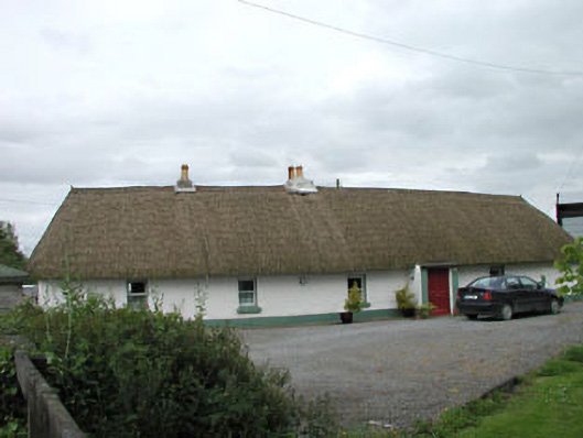 farm housefarm house · 1223 yd
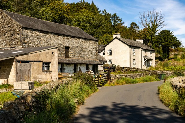 Mainham ForgeArchaeological place · 1588 yd
 Queen Buans GraveCastle, motte and bailey · 1674 yd
 Burial GroundRuins · 1707 yd
 1798 Rebellion MemorialMemorial · 1.1 mi
 CastleCastle, tower house · 1.2 mi
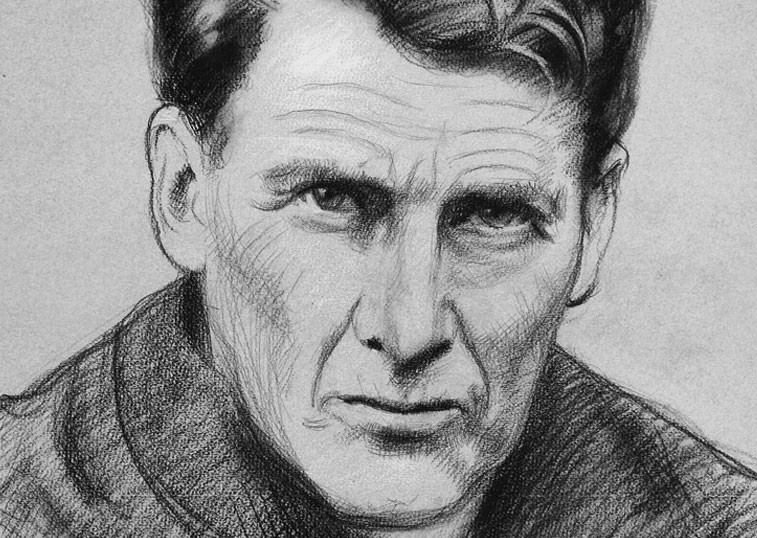 Venerable Fr John Sullivan MemorialMemorial · 1.2 mi
 Dunne's IslandWood · 1.7 mi
 Grand Canal WayWalking route · 1.8 mi
 The Kildare MazeHeritage attraction · 2.3 mi
 Loughtown CovertWood · 2.6 mi
Other information
Photo: Credit not shown in the picture search · Rights wording not checked; contact us if this picture should be removed