What is recorded here
In tillage on N-facing slope. Roughly circular area (24m N-S); defined by bank (H 1.1m) and inner ditch (D 1.1m) SE->NW; field fence NW-SE. Not depicted on 1st or 2nd ed. O.S. maps. Heavily overgrown.
The above description is derived from the published 'Archaeological Inventory of County Cork. Volume 1: West Cork' (Dublin: Stationery Office, 1992). In certain instances the entries have been revised and updated in the light of recent research.
Date of upload/revision: 14 January 2009
The monument record does not grant public access. Check the route and ask the landowner before entering private land.
- What survives
- Recorded monument
Places near here
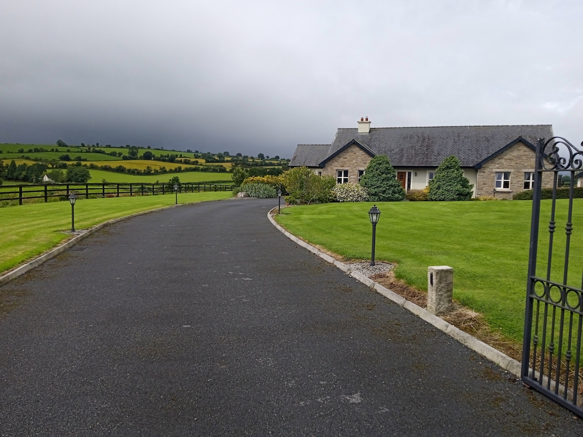
 farm housefarm house · 660 yd
 Fulacht FianFulacht fia · 1188 yd
 Kilpadder Burial Gd (Site of)Burial ground · 1416 yd
 Dromkeen Wood Nature ReserveForest · 1.1 mi
 Dromkeen WoodWood · 1.2 mi
 Innishannon WoodsPicnic place · 1.2 mi
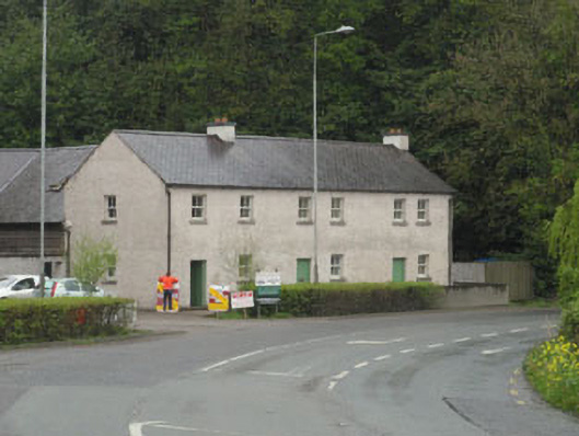 The Forgehouse · 1.2 mi
 Downdaniel Castle (in Ruins)Castle, tower house · 1.4 mi
 Carrighnassig Castle (Site of)Castle, unclassified · 1.6 mi
 Marie LouiseWreck · 1.7 mi
 Carbury's WellSpring · 2.0 mi
 Bandon War MemorialMemorial · 2.5 mi