
What is recorded here
Rectangular enclosure visible on aerial photograph (CUCAP, ATA 20). No remains visible at ground level when inspected in 1987.
Compiled by: Claire Breen
Date of upload: 19 August 2011
The monument record does not grant public access. Check the route and ask the landowner before entering private land.
- What survives
- Recorded monument
Places near here
 Enclosure in BallymoonEnclosure · 204 yd
 Wych ElmWych Elm · 666 yd
 Ballymoon Castle (in ruins)Castle, Anglo-Norman masonry castle · 1416 yd
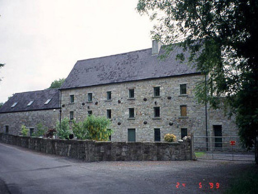 mill (water)mill (water) · 1462 yd
 Enclosure in BallywilliamroeEnclosure · 1543 yd
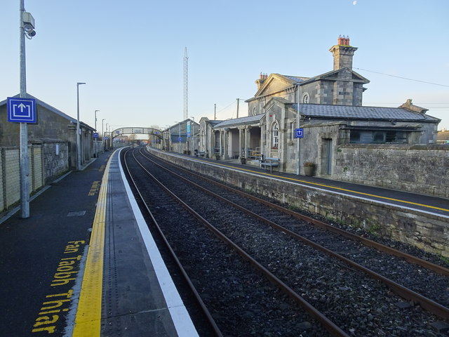 Bagenalstown Railway Stationfoot bridge · 1.3 mi
 CastleCastle, motte · 1.4 mi
 Sweet ChestnutSweet Chestnut · 1.5 mi
 The Columban WayVisitor information · 1.5 mi
 Lock Keeper's House and Lodge MillsVisitor information · 1.9 mi
 Church (in ruins), GraveyardChurch · 2.8 mi
 Church, GraveyardChurch · 3.6 mi
Other information
Photo: Credit not shown in the picture search · Rights wording not checked; contact us if this picture should be removed