What is recorded here
Thirty metres of hidden ditch still circle Ballymoon, waiting for dry soil and a shadowed hour to reveal their shape. Quarrying has scarred the neighbouring fields, yet the ancient line holds its own boundary against forgetfulness.
The following description is derived from the published 'Archaeological Inventory of County Carlow' (Dublin: Stationery Office, 1993). In certain instances the entries have been revised and updated in the light of recent research.
Date of upload/revision: 17 July 2007
Aerial photograph (GSI S 268) shows cropmark of fosse enclosing oval area (est max. diam. c. 30m). Possibly a ringfort. No visible trace at ground level.
Aerial photograph (GB89.S.09) shows cropmark of a circular enclosure defined by a fosse. Extensive quarrying in adjacent fields.
This remains an important historical record, but the official description says the monument is no longer visible or has been destroyed. The monument record does not grant public access. Check the route and ask the landowner before entering private land.
- What survives
- No visible remains or recorded as destroyed
Places near here
 Enclosure in BallymoonEnclosure · 598 yd
 Ballymoon Castle (in ruins)Castle, Anglo-Norman masonry castle · 946 yd
 Enclosure in BohermoreEnclosure · 998 yd
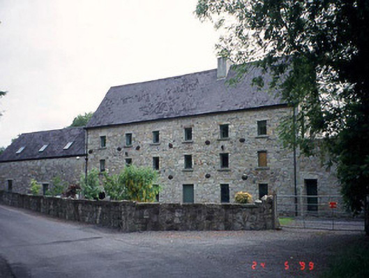 mill (water)mill (water) · 1280 yd
 Wych ElmWych Elm · 1501 yd
 Dunleckny Churchchurch/chapel · 1696 yd
 CastleCastle, motte · 1726 yd
 Sweet ChestnutSweet Chestnut · 1.1 mi
 The Columban WayVisitor information · 1.6 mi
 Lock Keeper's House and Lodge MillsVisitor information · 2.0 mi
 Church (in ruins), GraveyardChurch · 3.1 mi
 Church, GraveyardChurch · 3.3 mi