
What is recorded here
Located in a large arable field, c. 2.5km NW of the village of Lusk (DU008-010----), cropmarks indicate the presence of a large subsurface rectilinear enclosure. The enclosure (dims. c. 54.7m N–S and 63m E–W) is defined by a ditch (Wth c. 2.2m). A gap (Wth c. 4.3m) can be seen along the S boundary of the site. This monument was identified from the digital globe as viewed on 20 November 2019
Compiled by: Tom Condit
Uploaded on: 19 October 2020
The monument record does not grant public access. Check the route and ask the landowner before entering private land.
- What survives
- Recorded monument
Places near here
 Earthwork in CourtloughEarthwork · 925 yd
 Old BarracksBarracks · 956 yd
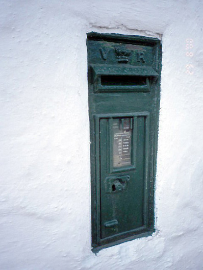 post boxpost box · 1192 yd
 Man of Warhouse · 1212 yd
 Man O'War HillMountain / peak · 1258 yd
 CastleCastle, unclassified · 1617 yd
 Joe’s BridgeMemorial · 1.5 mi
 LuskMemorial · 1.6 mi
 Picnic AreaPicnic place · 1.8 mi
 Castle (in ruins)Castle, Anglo-Norman masonry castle · 2.1 mi
 Hollywood GreatMountain / peak · 3.3 mi
 The Birds of Rogerstown EstuaryVisitor information · 3.7 mi
Other information
Photo: Credit not shown in the picture search · Rights wording not checked; contact us if this picture should be removed