What is recorded here
Identified as a cropmark on the 2005 OSI orthphotos, in tillage. A roughly circular enclosure (internal diam. c. 50m; overall diam. c. 64-66m), defined by an inner and outer fosse. There is an adjacent enclosure (CW012-211----) c. 17m to the SW and another (CW012-192----) c. 330m to the SW.
Compiled by: Jean Farrelly
Date of upload: 28 August 2018
The monument record does not grant public access. Check the route and ask the landowner before entering private land.
- What survives
- Recorded monument
Places near here
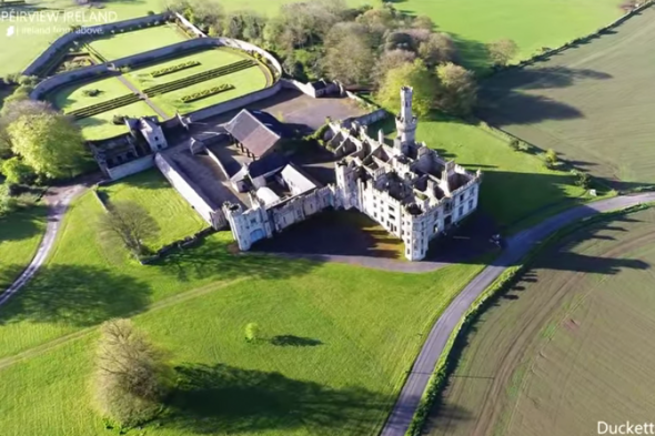 Enclosure in BallylooEnclosure · 425 yd
 Enclosure in LinkardstownEnclosure · 741 yd
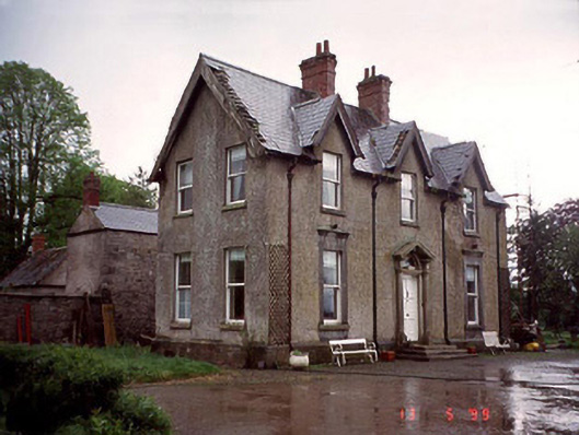 Garryhundon Househouse · 1.2 mi
 Graiguealug Castle in ruinsCastle, unclassified · 1.3 mi
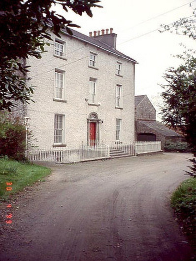 Kyleballyhuehouse · 1.4 mi
 Graveyard in ClonmelshGraveyard · 1.5 mi
 Pedunculate OakPedunculate Oak · 1.5 mi
 Graiguenaspiddoge Castle in ruinsCastle, tower house · 1.7 mi
 Church (in ruins), GraveyardChurch · 2.1 mi
 Common LimeCommon Lime · 2.7 mi
 Brownshill Portal TombVisitor information · 4.7 mi
 Carlow County MuseumMuseum · 4.7 mi