What is recorded here
In tillage. A roughly oval enclosure (dims. c. 50m N-S; c. 40m E-W) identified as a cropmark on Google Earth Pro imagery (imagery date 14 July 2018) by Jean-Charles Caillère. The enclosure narrows towards the S.
See attached photograph:
CW012-220----_01 Image ©2019 CNEW/Airbus: Google Earth Pro satellite imagery (14 July 2018)
Compiled by: Jean Farrelly
Date of upload: 10 December 2019
The monument record does not grant public access. Check the route and ask the landowner before entering private land.
- What survives
- Recorded monument
Places near here
 Enclosure in LinkardstownEnclosure · 419 yd
 Font in LinkardstownFont · 868 yd
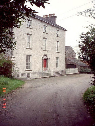 Kyleballyhuehouse · 1.1 mi
 Graiguealug Castle in ruinsCastle, unclassified · 1.2 mi
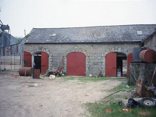 Castletown Castlestables · 1.2 mi
 Pedunculate OakPedunculate Oak · 1.3 mi
 Graiguenaspiddoge Castle in ruinsCastle, tower house · 1.6 mi
 Graveyard in ClonmelshGraveyard · 1.6 mi
 Church (in ruins), GraveyardChurch · 2.0 mi
 Common LimeCommon Lime · 3.0 mi
 Brownshill Portal TombVisitor information · 4.4 mi
 Carlow County MuseumMuseum · 4.6 mi