What is recorded here
Visible on aerial photograph (GSIAP R2/35). On SSW facing slope of low ridge with good views in all directions except to NNE and N. No remains visible at ground level.
Compiled by: Claire Breen
Date of upload: 19 August 2011
The monument record does not grant public access. Check the route and ask the landowner before entering private land.
- What survives
- Recorded monument
Places near here
 Kilcullaun Church (in ruins), GraveyardChurch · 657 yd
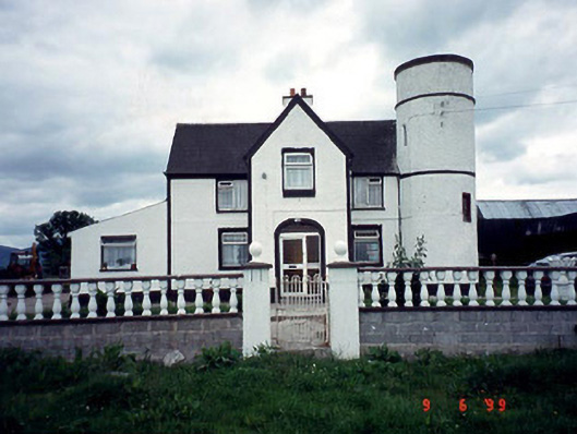 Tower Housefarm house · 1024 yd
 Enclosure in TinnacarrigEnclosure · 1224 yd
 Kyle Church (in ruins), Graveyard (site of)Church · 1382 yd
 Saint Patrick's Catholic Churchchurch/chapel · 1.2 mi
 The Barrow WayVisitor information · 1.6 mi
 Castle (in ruins)Castle, tower house · 1.9 mi
 ClashgannyWood · 2.2 mi
 Sweet ChestnutSweet Chestnut · 2.3 mi
 General Thomas CloneyMemorial · 3.6 mi
 Keating's WellSpring · 3.7 mi
 Tinahinch Castle (in Ruins)Castle, tower house · 3.9 mi