What is recorded here
Monument identified as a result of geophysical survey. It consists of an enclosure (diam. c. 38m N-S; c. 44m E-W) with a possible entrance in the E. The western edge of the monument could not be clearly discerned due to the close proximity of a modern field boundary which runs NW-SE immediately W of the enclosure. However, two parallel linear ditches, c. 8m apart, appear to extend from the NW quadrant for a short distance of c. 10-15m. Immediately ESE of the enclosure there is a small enclosure (TS065-077----) and another small enclosure (TS065-078----) c. 50m to the E. (Leigh 2015, 6-7)
Compiled by: Jean Farrelly
Date of upload: 24 March 2015
The monument record does not grant public access. Check the route and ask the landowner before entering private land.
- What survives
- Recorded monument
Places near here
 Enclosure in Grange (coshlea By.)Enclosure · 891 yd
 Enclosure in Ballyholahan EastEnclosure · 1081 yd
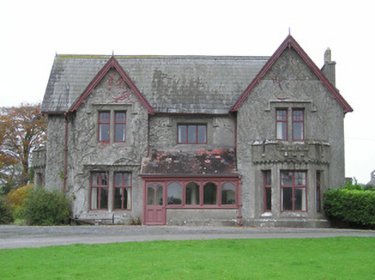 Scarteen Housecountry house · 1250 yd
 Church in Lackelly WestChurch · 1504 yd
 St Patrick's WellSpring · 1.1 mi
 Castle (in ruins)Castle, tower house · 1.2 mi
 Ryves CastleCastle, unclassified · 1.4 mi
 Carn (site of)Cairn, burial cairn · 1.7 mi
 Saint Patrick's WellSpring · 1.9 mi
 Flat cemetery in Knockainy WestFlat cemetery · 3.8 mi
 Ballinvreena LoopVisitor information · 4.1 mi
 SlievereaghMountain / peak · 4.3 mi