What is recorded here
Immediately NW of Ballyhale village and c. 500m NNW of Ballyhale Castle (KK031-034005-). A square enclosure (dims. c. 50m), with rounded corners, visible as a cropmark on satellite imagery (Apple maps satellite imagery), identified and reported by Jean-Charles Caillère. It has a wide inner enclosing element, possibly a bank, with an outer fosse and narrow outer bank.
See attached imagery:
KK031-103----_01 Apple maps satellite imagery
Compiled by: Jean Farrelly
Date of upload: 13 June 2023
The monument record does not grant public access. Check the route and ask the landowner before entering private land.
- What survives
- Recorded monument
Places near here
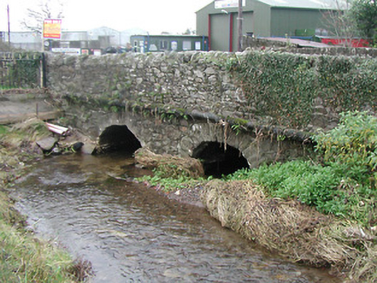 Ballyhale Bridgebridge · 203 yd
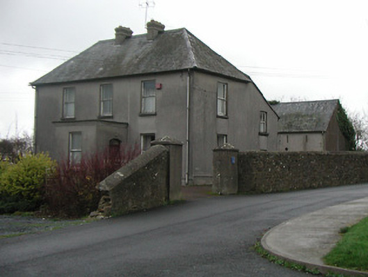 The Presbyterypresbytery/parochial/curate's house · 478 yd
 Font in BallyhaleFont · 523 yd
 Graveyard in DerrynahinchGraveyard · 1214 yd
 Ballyboodan Ogham StoneArchaeological place · 1280 yd
 Church (in Ruins), GraveyardChurch · 1.0 mi
 CastleCastle, unclassified · 1.1 mi
 Castle ColumbCastle, tower house · 1.7 mi
 Turkey OakTurkey Oak · 2.6 mi
 Castlemorris Pheasant LoopWalking route · 3.1 mi
 Castlemorris WoodForest · 3.1 mi
 Holy WellSpring · 3.4 mi
Other information
Photo: Credit not shown in the picture search · Rights wording not checked; contact us if this picture should be removed