What is recorded here
In pasture, on break in S-facing slope. Sub-rectangular area (30m N-S; 35.6m E-W) defined by scarped edge SW->SE and enclosed by earthen bank SE->SW. Scarp (H 1.4m; Wth 0.95m) is best preserved SW->NW where remains of stone facing survive, but is very eroded NNE->SE becoming uneven and shallow. Bank (int. H 0.4m; ext. H 1.15m) is heavily masked by overgrowth. Interior, under pasture, slopes down gently to E. Two stones, c. 0.9m apart on a rough WSW-ENE axis, stand in SW quadrant; larger stone (H 0.8m; L 0.85m) at WSW, other stone much shorter (H 0.28m; L 1.1m). A small heap of loose stone lie adjacent to SE. Small boulder lies at base of scarp at WNW. Farm passage runs tangentially immediately outside enclosing element as S.
Compiled by: Denis Power
Date of upload: 26 August 2011
The monument record does not grant public access. Check the route and ask the landowner before entering private land.
- What survives
- Recorded monument
Places near here
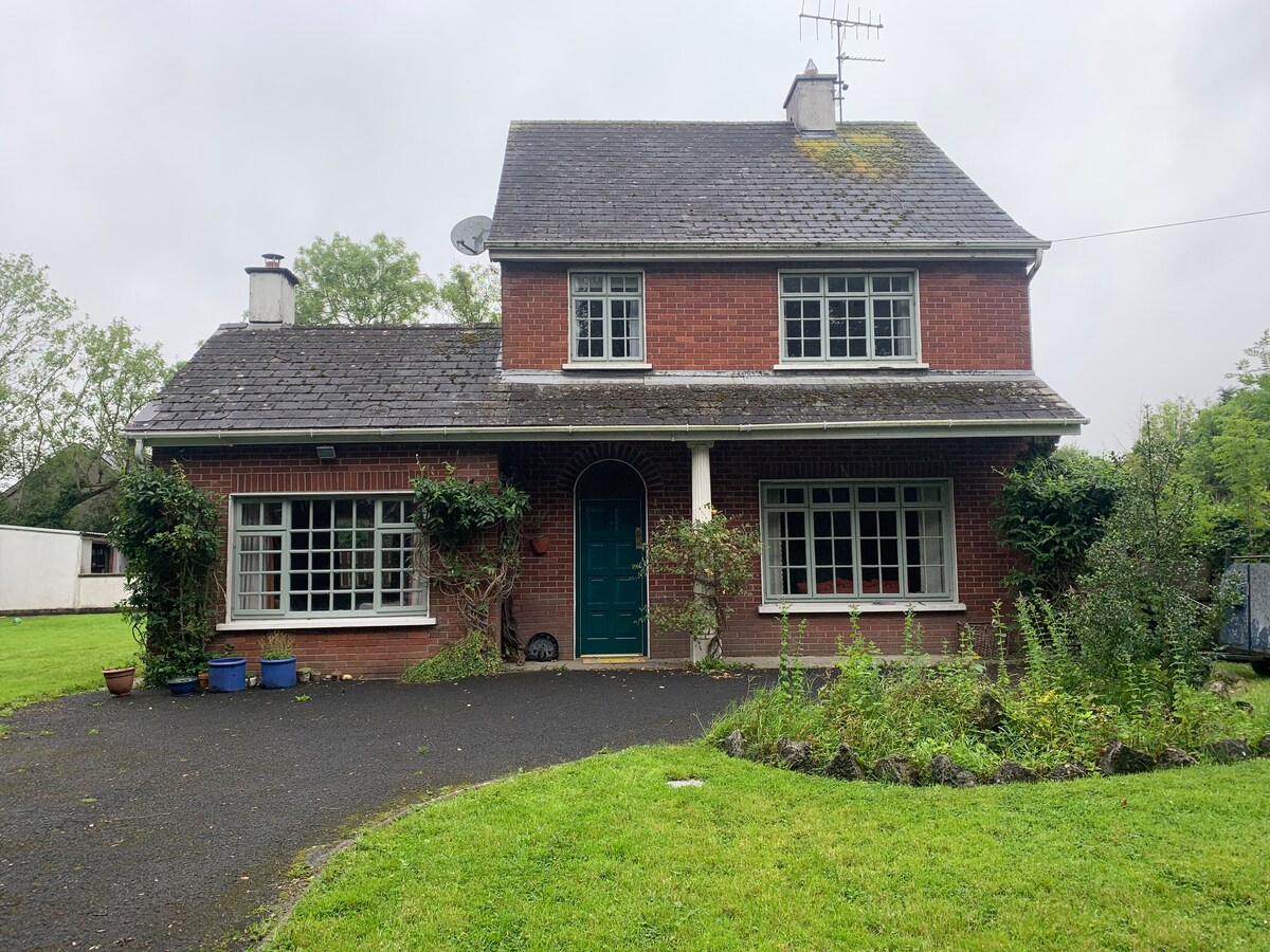 Enclosure in CommonEnclosure · 751 yd
 BarrowBarrow, ring-barrow · 1206 yd
 Famine stoneMemorial · 1440 yd
 KnockfeerinaMountain / peak · 1733 yd
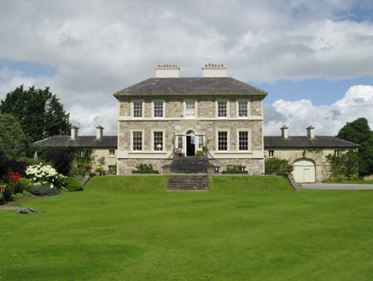 Ballyneale Housecountry house · 1.3 mi
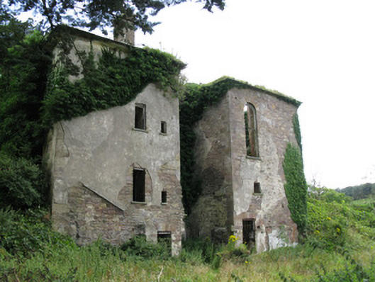 Ballynoe Housecountry house, stables · 1.7 mi
 Hachured (1923).Castle, motte · 1.8 mi
 Castle (in ruins)Castle, tower house · 2.0 mi
 Our Lady's WellSpring · 3.1 mi
 Kinnoor WellSpring · 3.6 mi
 Flat cemetery in Kiltenan SouthFlat cemetery · 4.3 mi
 Dysert AenghusaHeritage attraction · 5.2 mi