What is recorded here
In pasture, on slight NE-facing slope. This monument was identified from an aerial photograph (Bruff Survey: map 22, Bruff 110). It has been levelled and there was no evident trace of it when site inspected. Described by Doody (2008, 130) as a 'subcircular ditched enclosure, c. 35m x 25m'; the morphology of this enclosure indicates that it may be Bronze Age in date (ibid.).
Compiled by: Denis Power
Date of upload: 6 November 2013
The monument record does not grant public access. Check the route and ask the landowner before entering private land.
- What survives
- Recorded monument
Places near here
 Fulacht fia in DrominycarraFulacht fia · 307 yd
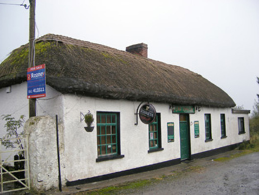 The Thatchhouse · 726 yd
 Partially hachuredEnclosure · 919 yd
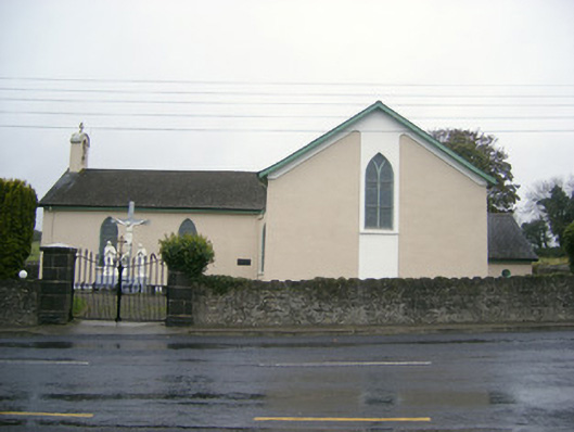 Catholic Church of Saint John the Baptistchurch/chapel · 987 yd
 Glenogra Castle (in ruins)Castle, Anglo-Norman masonry castle · 1647 yd
 Bawn in SkoolhillBawn · 1.5 mi
 Skool HillMountain / peak · 1.9 mi
 Banoge's WellSpring · 2.1 mi
 Villiers WellSpring · 2.6 mi
 Lough GurVisitor information · 2.9 mi
 Grange Stone CircleArchaeological place · 2.9 mi
 European ashEuropean ash · 5.0 mi