What is recorded here
No visible remains exist today, yet buried ditches still shadow the soil beneath Ballydwyer East. The main oval stretches seventy-five metres east to west, with two smaller circles nested inside like rooms within a house. People likely lived there before the land was reclaimed and changed, watching weather move across Sliabh Mis and the Lee Valley. The enclosure disappeared from sight but never stopped marking the field.
'The site is located in land that has been improved and reclaimed and slopes gently down to the south - south-west. Much of the surrounding land to the north and north-east is rocky and rough. The site affords good views of the Sliabh Mis to the south-west and the Lee Valley to the west - south-west. The site was noted on black and white aerial photography, no trace remaining at ground level. It consists of an oval to D-shaped crop mark enclosure........measuring 40m N-S by 75m E-W, with two smaller crop mark enclosures/features........approximately 8-10m in diameter, located internally - one centrally placed the other at the eastern end. The darkness of the cropmarks clearly suggests buried ditches.'
Description from ‘The Prehistoric Settlement of the Lee Valley, Tralee, Co. Kerry; A Landscape Perspective’ by Michael Connolly. PhD Thesis UCC 2008
Date of upload: 20 June 2012
The monument record does not grant public access. Check the route and ask the landowner before entering private land.
- What survives
- Recorded monument
Places near here
 Enclosure in Clogher (trughanacmy By.)Enclosure · 476 yd
 Enclosure in Ballydwyer EastEnclosure · 525 yd
 Site of Rockfield Ho.Castle, unclassified · 1032 yd
 Site of McElligotts CastleCastle, unclassified · 1.3 mi
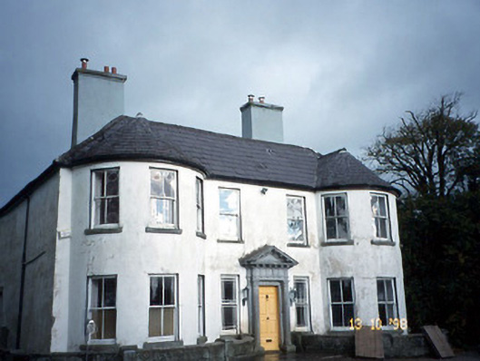 Arabela Househouse · 1.3 mi
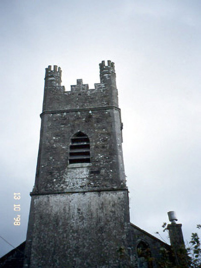 Ballymacelligott Churchchurch/chapel · 1.5 mi
 PoulatouirtCave · 2.0 mi
 Poulclashcannon (blocked)Cave · 2.0 mi
 Common AlderCommon Alder · 3.1 mi
 Ballincollig HillMountain / peak · 3.5 mi
 Monument WoodWood · 3.6 mi
 CruslineMountain / peak · 4.2 mi