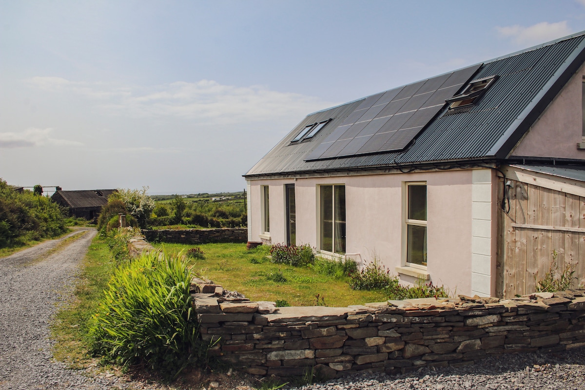
What is recorded here
Hachured as a small circular enclosure (diam. c. 15m) on the 1842 OS 6-inch map. Possible remains of a subcircular earthwork are visible on OSi MapGenie orthophotograph (1996-2000).
The following image has been uploaded:
CL015-071----_01 .jpg OSi MapGenie image
Compiled by: Mary Tunney
Date of upload: 15 August 2023
The monument record does not grant public access. Check the route and ask the landowner before entering private land.
- What survives
- Recorded monument
Places near here
 Enclosure in Derreen (kilshanny Ed)Enclosure · 1357 yd
 IndicatedFairy fort / earthen ringfort · 1515 yd
 Site of Tullamore CastleCastle, unclassified · 1530 yd
 Kilshanny Church (in ruins)Religious house, Augustinian canons · 1.2 mi
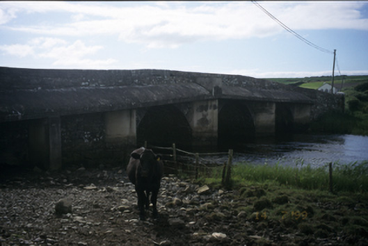 New Bridgebridge · 1.2 mi
 Kilmanahn GraveyardRuins · 1.4 mi
 Famine MemorialMemorial · 1.7 mi
 Dough CastleRuins · 2.2 mi
 Lahinch BeachBeach / strand · 2.8 mi
 TullygarvanWood · 3.9 mi
 Burren Centre KilfenoraVisitor information · 4.1 mi
 High CrossHeritage attraction · 4.1 mi
Other information
Photo: Credit not shown in the picture search · Rights wording not checked; contact us if this picture should be removed