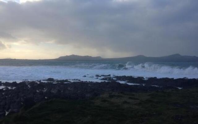
What is recorded here
In flat terrain at the foot of Sturrakeen, one of the mountains in the Galty range, in lush meadow. The monument was identified on an aerial photograph (Air Corps V.311/2965-6) as a small enclosure (diam. c. 10m). It is not visible at ground level, though the lush meadow at time of inspection may be obscuring any subtle features.
Compiled by: Jean Farrelly
Date of upload: 26 August 2011
A local fairy fort (ringfort/rath); wider significance not recorded.
The monument record does not grant public access. Check the route and ask the landowner before entering private land.
- What survives
- Recorded monument
Places near here
 Ballydavid WoodWood · 1146 yd
 Pedunculate OakPedunculate Oak · 1237 yd
 Wood Housegarda station/constabulary barracks · 1244 yd
 Cappa Castle (in ruins)Castle, tower house · 1380 yd
 Cashlaunbeg (in ruins)Bawn · 1416 yd
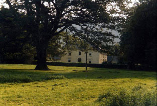 Ashgrove Househouse · 1.1 mi
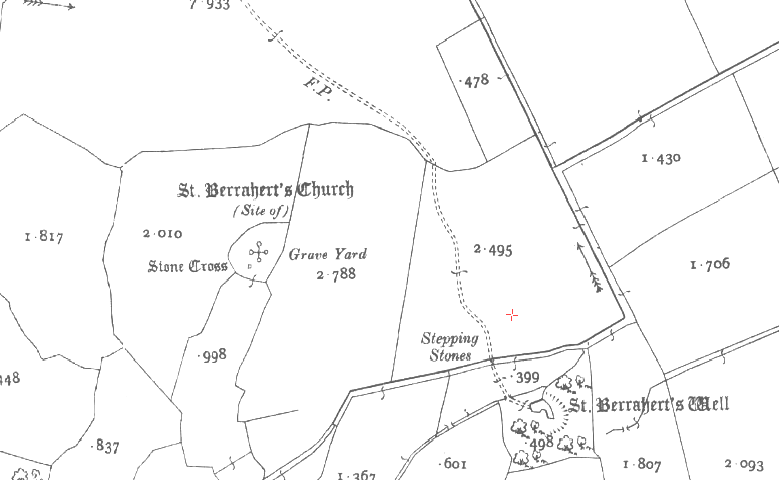 St. Berraherts WellRitual site, pond · 1.2 mi
 Site of St.Berriherts Church; Grave YardChurch · 1.3 mi
 SturrakeenMountain / peak · 1.6 mi
 Laghtshanaquilla North-East TopMountain / peak · 2.1 mi
 The RockViewpoint · 5.0 mi
 Caher AbbeyHeritage attraction · 5.4 mi
Other information
Photo: Credit not shown in the picture search · Rights wording not checked; contact us if this picture should be removed