
What is recorded here
Enclosure in Ballycotteen North is a curving stone wall on a bog slope, not a finished room or named home. Its rounded boulders and upright slabs mark a place where people may have kept fire, tools or memory beside the old wedge tomb. The missing arc and distant field boundary suggest a lived landscape rather than a lonely heap of rocks.
On a gentle S-facing slope in bog. A possible enclosure defined by a stretch of curving wall from SW to NW (total detectable L 10.2m; Wth 0.45m; H 0.43-0.95m) constructed of close-fitting rounded boulders with clusters of upright slabs in some parts. The possible N arc of the enclosure NW to NE can be seen on the OSi MapGenie orthophotographs (2012-2018). A field boundary (CL015-154----) lies c. 38m to the NW and may form part of a field system. A wedge tomb (CL015-001----) lies c. 60m to the NE.
The following images have been uploaded:
CL015-153----_01.jpg View from S
CL015-153----_02.jpg View from E
CL015-153----_03.jpg View from SE
CL015-153----_04.jpg View from N
Compiled by: Mary Tunney
Date of upload: 15 March 2023
The monument record does not grant public access. Check the route and ask the landowner before entering private land.
- What survives
- Recorded monument
Places near here
 Doolin Cliff WalkWalking route · 1356 yd
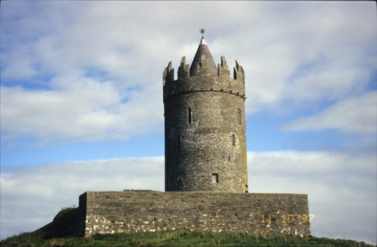 Doonnagore Castlecastle/fortified house · 1.3 mi
 Doonagore Castle in ruinsCastle, tower house · 1.3 mi
 CaherEnclosure · 1.4 mi
 Cliffs of Moher Visitor CentreVisitor information · 1.6 mi
 Enclosure in Moymore NorthEnclosure · 1.6 mi
 O'Brien's Towerfolly · 1.8 mi
 Sea StackMountain / peak · 1.8 mi
 Doonmacfelim Castle (in Ruins)Castle, tower house · 2.1 mi
 Fisherstreet PotCave · 2.1 mi
 Ballaghaline PointHeadland · 2.1 mi
 Doolin FerriesHeritage attraction · 2.2 mi
Other information
Photo: Credit not shown in the picture search · Rights wording not checked; contact us if this picture should be removed