What is recorded here
On the E-facing slope of a valley opening out to Lough Girroga, c. 200m to the S, in reclaimed pasture. Hachured N-SSW on the 1916 OS 6-inch map with the W side indicated by a curve in the field boundary. An enclosure (38.4m NW-SE; 38m NE-SW) defined by a scarp (H 0.3-0.5m) NW-SW. From SW to NW the boundary is defined by a curving field wall with dense growth on its W side. The interior slopes significantly to the E. The curving scarp is visible on Digital Globe orthophotography (2011-2013). A cairn of stones (H 1m; Wth 2m) lies outside the scarp at SE. Another scarp close to the SE edge of the enclosure may be connected with the reclamation of the field. ’Loughgirroga Fort’ (CL033-041----) lies c. 230m to the SE in an area of unreclaimed scrub. Another larger enclosure (CL033-038----) lay c. 350m to the SE in an area now occupied by modern houses.
The following image has been uploaded:
CL033-124----_01.jpg View of enclosure on Digital Globe (2011-2013)
Compiled by: Mary Tunney
Date of upload: 17 January 2022
The monument record does not grant public access. Check the route and ask the landowner before entering private land.
- What survives
- Recorded monument
Places near here
 Enclosure in Ballycorey,dulickEnclosure · 442 yd
 Enclosure in KnockaderryEnclosure · 948 yd
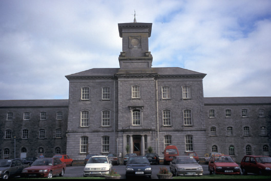 Our Lady's Hospitalhospital/infirmary · 1005 yd
 Temple VaraghanChurch · 1272 yd
 Ennis AbbeyMuseum · 1.5 mi
 Post Office FieldNature reserve · 1.6 mi
 Clare MuseumMuseum · 1.6 mi
 Ardcarney WoodWood · 1.7 mi
 CastleCastle, tower house · 1.8 mi
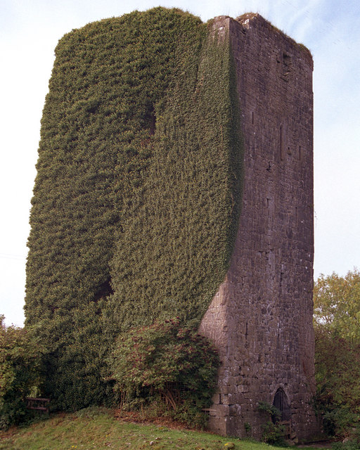 Ballygriffy CastleCastle · 2.3 mi
 Poul na gollorCave · 3.6 mi
 G.A.A. Commemorative StoneMemorial · 3.6 mi