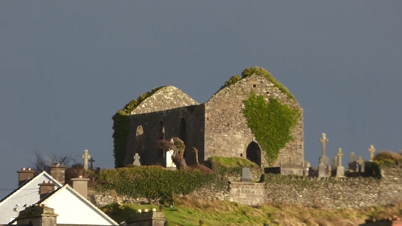
What is recorded here
Ballyclancahill holds a broken stone ring beside a larger cashel, suggesting two circles of residence rather than one blunt boundary. The collapsed walls leave a gap where human intent disappeared, yet the southern drystone line still marks the shape of a place designed to be entered, defended or remembered.
At the base of a natural slope a stone spread (Wth c. 2m) is concentric with a cashel wall (CL016-020014-) from ENE to SSW (c. 10m from the cashel wall) forming an annexe. Radial walls extend from this spread towards the cashel from ENE to S. All of the walls are in a collapsed state except a drystone wall at the S. The relationship to the cashel is unclear and this may represent the remains of a concentric enclosure. Another ringfort-cashel (CL016-020013-) is located c. 60m to the NNW.
Compiled by: Mary Tunney and Lynda McCormack
Date of upload: 23 March 2022
The monument record does not grant public access. Check the route and ask the landowner before entering private land.
- What survives
- Recorded monument
Places near here
 BallybaunEnclosure · 429 yd
 Enclosure in BallybaunEnclosure · 582 yd
 Ballyganner Castle (in ruins)Castle, tower house · 1199 yd
 Leamaneh Castle (in ruins)House, fortified house · 1.0 mi
 Kiltonaghty Church (in ruins)Church · 1.2 mi
 Kiltoraght Church (in ruins)Church · 1.6 mi
 Burren Centre KilfenoraVisitor information · 2.1 mi
 High CrossHeritage attraction · 2.2 mi
 Fergus River CaveCave · 2.3 mi
 Cave of the Wild HorsesCave · 3.5 mi
 CaherconnellHeritage attraction · 3.8 mi
 Inchiquin IslandIslet · 4.1 mi
Other information
Photo: Credit not shown in the picture search · Rights wording not checked; contact us if this picture should be removed