What is recorded here
Half a circle of packed earth and stone still marks the western edge of Ballybrowney Lower, waiting for the missing eastern curve. The trench cut shallow enough for a child to step across, yet deep enough to hold a forgotten Bronze Age life. Two other enclosures sit nearby like discarded rings, suggesting a small cluster of human activity rather than a lonely anomaly. The road bypass took the rest, but the half-circle remained visible long enough to resist complete erasure.
The W half of a roughly circular enclosure (enclosure 3) was excavated in 2003 in advance of the construction of the N8 Rathcormac-Fermoy Bypass. The enclosure (diam. c. 22m) was defined by a slot-trench (Wth 0.50m; D 0.55m) with evidence of stone lining along the edges. One sherd of Bronze Age pottery and one piece of metal slag were recovered from the fill of the trench. A number of small post- and stake-holes were excavated in the interior. Two other Bronze Age enclosures (CO044-073001-, CO044-073003-) are c. 20m to the SW and c. 50m to the W, respectively. (Cotter 2006a, 34-5; 2006c)
The above description is derived from 'The Archaeological Inventory of County Cork. Volume 5' (Dublin: Stationery Office, 2009).
Date of upload: 22 December 2009
The monument record does not grant public access. Check the route and ask the landowner before entering private land.
- What survives
- Recorded monument
Places near here
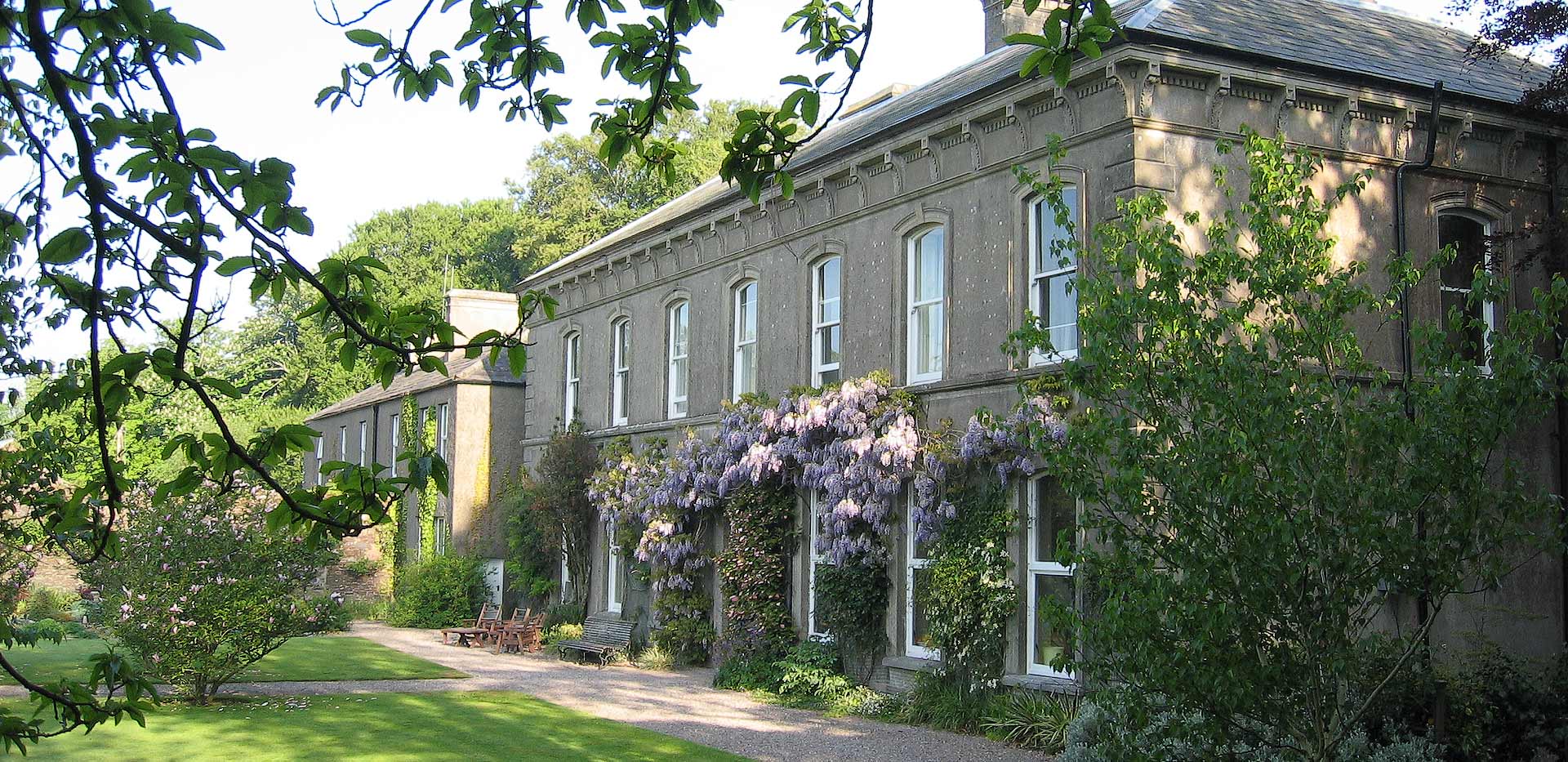 Enclosure in Ballybrowney LowerEnclosure · 19 yd
 KilnKiln, corn-drying · 51 yd
 ExcavationExcavation, miscellaneous · 159 yd
 Ahaclareen Bridgebridge · 761 yd
 Tower (in Ruins)Bawn · 1.7 mi
 Castle (in Ruins)Castle, unclassified · 2.1 mi
 Rathcormac massacremassacre · 2.2 mi
 Devonshire's HillMountain / peak · 3.0 mi
 Coolmucy WoodWood · 3.4 mi
 Cappagh XViewpoint · 3.4 mi
 Corrin WoodsWood · 3.5 mi
 Graveyard in Killuntin NorthGraveyard · 4.0 mi