What is recorded here
Enclosure 4 in Ballybrowney Lower is a rectangular early medieval place, dated cal. AD 780-979 from a fosse fill. Its sharp-cornered ditch cut across what is now road country, and a cremation pit lay inside near the SE corner. People lived, buried and marked time there before the bypass took the land.
The SE corner of a rectangular enclosure (enclosure 4) was excavated in 2003 in advance of the construction of the N8 Rathcormac-Fermoy Bypass (Cotter 2006c). The fosse (Wth 1.7m; D 0.6m) extended from W to E for 7m turning sharply N for 15m before disappearing into the area outside the road intake. Although an Iron Age and an Early Medieval radiocarbon dates were obtained from fills of the fosse, the excavator concluded that an early medieval date was most likely due to the predominance of oats from a sample in the fosse. A cremation pit burial (CO044-073008-) was uncovered in the interior close to the SE corner. Further testing in 2005, in the area W of the road intake (Drumm and Tierney 2006, 1), confirmed that the enclosure extended to the W and N. A gradiometry survey and test-trenching produced evidence of a rectangular area (22m N-S; c. 18m E-W) defined by a fosse (Wth c. 1.6m; D 0.4-0.5m) and a fill from the fosse produced an early medieval date (cal. AD 780-979) (ibid. 2).
The above description is derived from 'The Archaeological Inventory of County Cork. Volume 5' (Dublin: Stationery Office, 2009).
Date of upload: 22 December 2009
The monument record does not grant public access. Check the route and ask the landowner before entering private land.
- What survives
- Recorded monument
Places near here
 KilnKiln, corn-drying · 76 yd
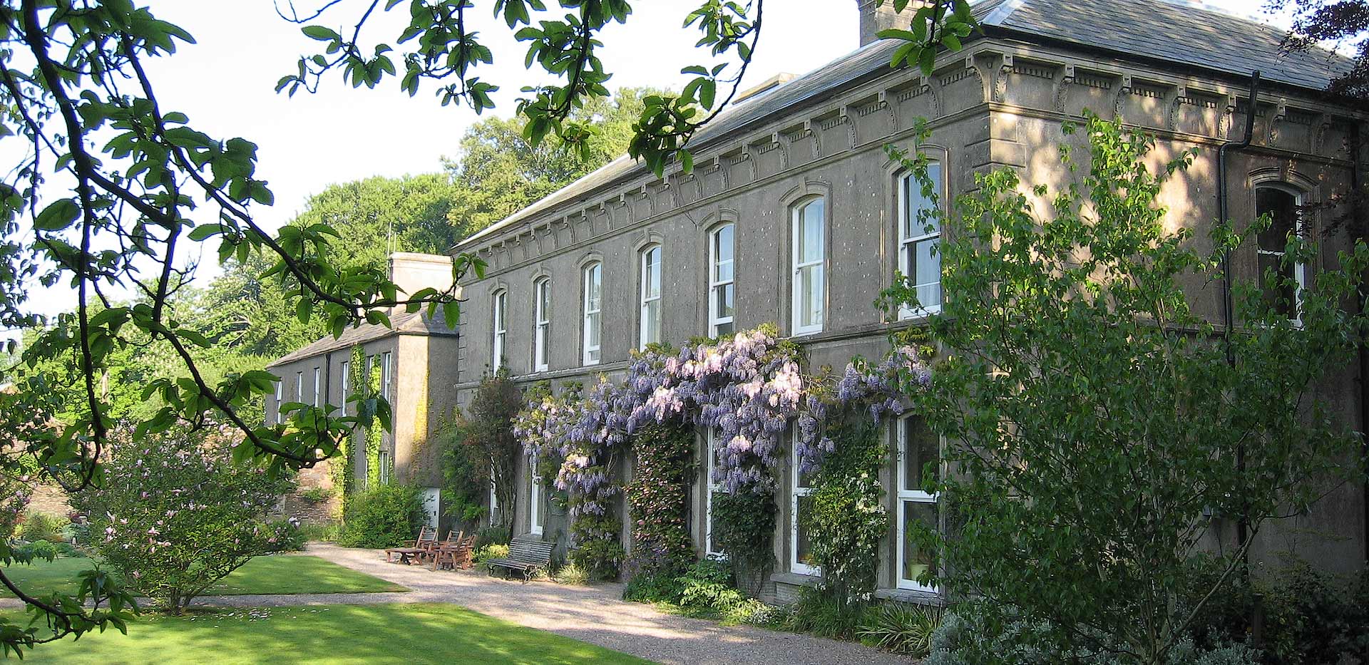 Enclosure in Ballybrowney LowerEnclosure · 131 yd
 ExcavationExcavation, miscellaneous · 277 yd
 Ahaclareen Bridgebridge · 753 yd
 Tower (in Ruins)Bawn · 1.8 mi
 Castle (in Ruins)Castle, unclassified · 2.1 mi
 Rathcormac massacremassacre · 2.3 mi
 Devonshire's HillMountain / peak · 3.0 mi
 Coolmucy WoodWood · 3.4 mi
 Cappagh XViewpoint · 3.4 mi
 Corrin WoodsWood · 3.4 mi
 Graveyard in Killuntin NorthGraveyard · 4.0 mi