What is recorded here
Two Rock Mountain still holds the ghost of a boundary, its curved line drawn on an 1843 map but erased from the earth. That vanished enclosure may have belonged to another person or another time, yet the mountain keeps the shape of a choice someone made. Forgetting it is not the same as losing it.
Situated on the lower S-facing slopes of Two Rock Mountain. The 1843 OS 6-inch map shows a curving boundary NW of the ringfort (DU025-043001-). This may have been part of another enclosure. No visible trace. Not visible at ground level.
Compiled by: Geraldine Stout and Padraig Clancy
Uploaded on: 28 July 2018
This remains an important historical record, but the official description says the monument is no longer visible or has been destroyed. The monument record does not grant public access. Check the route and ask the landowner before entering private land.
- What survives
- No visible remains or recorded as destroyed
Places near here
 Giants Grave(site of)Megalithic structure · 327 yd
 water pumpwater pump · 760 yd
 Butter WellWell · 794 yd
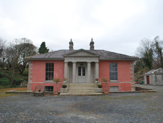 Glencullen Housecountry house · 1178 yd
 Ballyedmonduff ForestForest · 1.1 mi
 Two Rock MountainMountain / peak · 1.2 mi
 Dublin Mountains Partnership InformationVisitor information · 1.4 mi
 Prince William's SeatMountain / peak · 1.4 mi
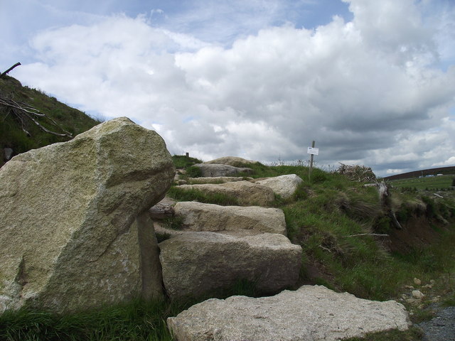 Wicklow WayWalking route · 1.5 mi
 Dublin Mountain Way informationVisitor information · 1.5 mi
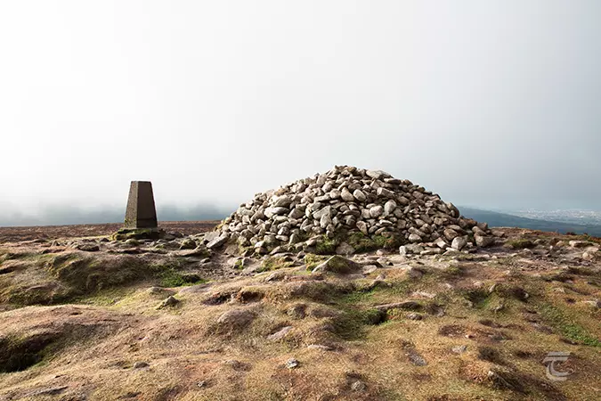 Ticknock - Fairy Castle LoopWalking route · 1.7 mi
 Ballybetagh WoodForest · 1.8 mi
Other information
Photo: Credit not shown in the picture search · Rights wording not checked; contact us if this picture should be removed