
What is recorded here
No. That is an instruction label, not a visible fact.
This monument was described, in 1837, by Eugene O’Curry as follows: ‘The Giant’s grave at Ballybrack is but little known, though it appears to have been partly openned, but not within the memory of Peter Welsh, who lives near it, and is now 90 years old. It is situated on the top of a little cultivated hill and covered with a stone 10 feet by 7 [3.05m by 2.13m]. No person in the neighbourhood ever heard any name for it but Peter Welsh, who when he was a boy heard the ould Irish people call it LEABA NA SAIGH (the greyhounds bed).’ (OSL, Co. Dublin, 49-50). The site was named ‘Giant’s Grave’ and shown as a small circular cairn on the first edition of the OS 6-inch map published in 1843 (surveyed 1837, corrected 1843). The monument would appear to have been destroyed by the time of the first revision of the OS 6-inch map, surveyed in 1863, for it is there marked ‘Giant’s Grave’ (site of). Wakeman (1891, 72) mentioned that he did not see this site but considered that it was that which was depicted and described by O’Neill in his paper on the ‘rock monuments’ of County Dublin (1852, 43). Borlase (1897, 387) likewise incorrectly assumed that the O’Neill site and this monument were one and the same (1897, 387). In this he has been followed by others who subsequently commented on it (Cooke 1903; Powell 1941; Healy 1975). O’Neill’s site, situated about 1.3km to the NE, is a natural feature. No visible surface trace of the ‘Giant’s Grave’ survives and, although it might have been the remains of a megalithic tomb, the evidence is not sufficient to warrant accepting it as such. (OSL, Co. Dublin, 49-50; O’Neill 1852, 43 (sketch); Stokes 1878, 144; 1882, 19; Wakeman 1891, 72; Borlase 1897, 387-8, Rathdown 2 (the sketch included is of the monument in Newtown); Cooke 1903; Ball 1906, 65-6; OSM (1937), A/224a/19; Price 1940, 124; Powell 1941, 21, No. 11; Healy 1975, Sheet 25, No. 33).
Compiled by: Paul Walsh and Padraig Clancy
Revised upload on: 28 July 2018
The monument record does not grant public access. Check the route and ask the landowner before entering private land.
- What survives
- Recorded monument
Places near here
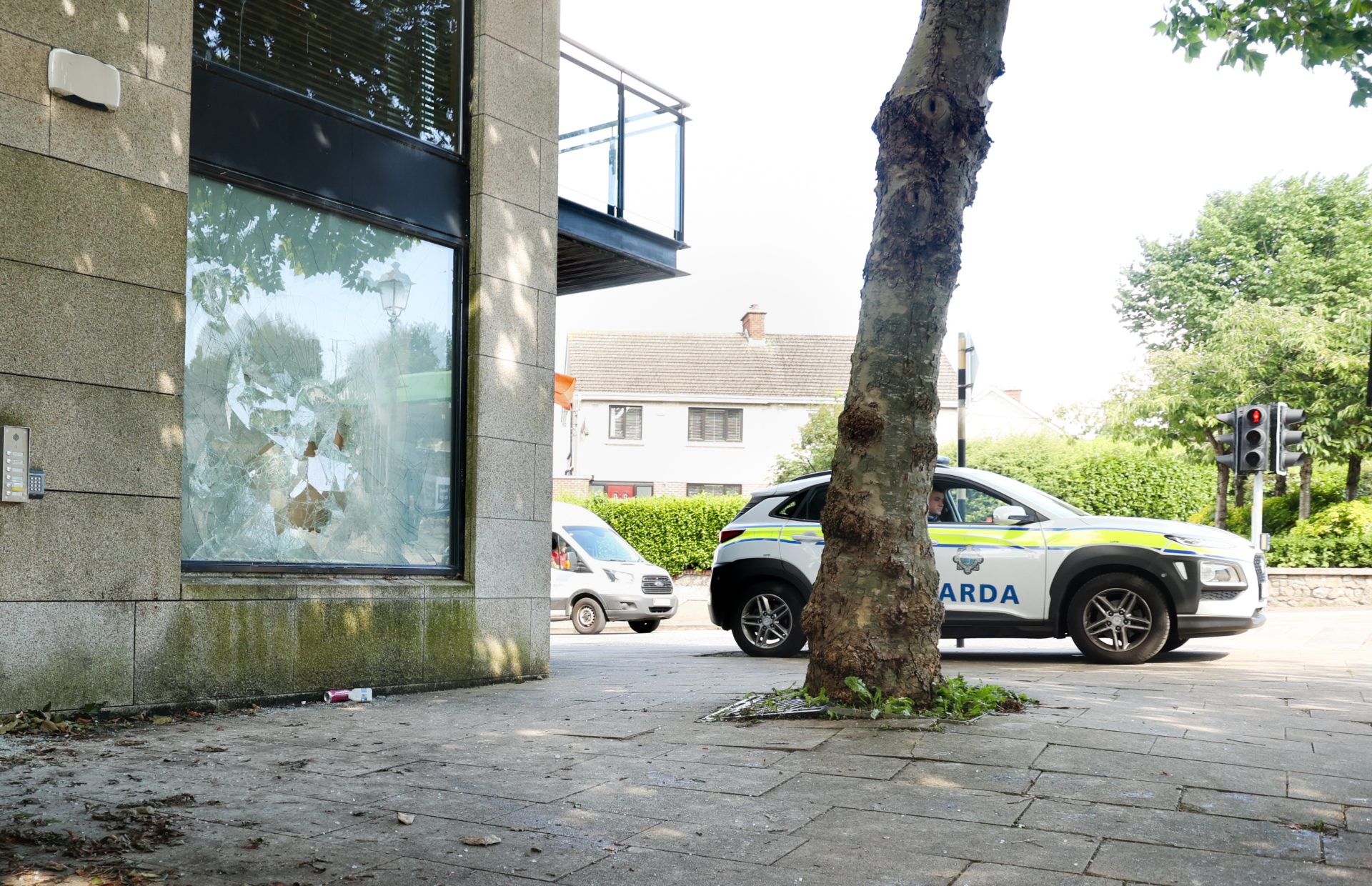 Enclosure in Ballybrack (rathdown By., Glencullen Ed)Enclosure · 327 yd
 water pumpwater pump · 433 yd
 IndicatedEarthwork · 492 yd
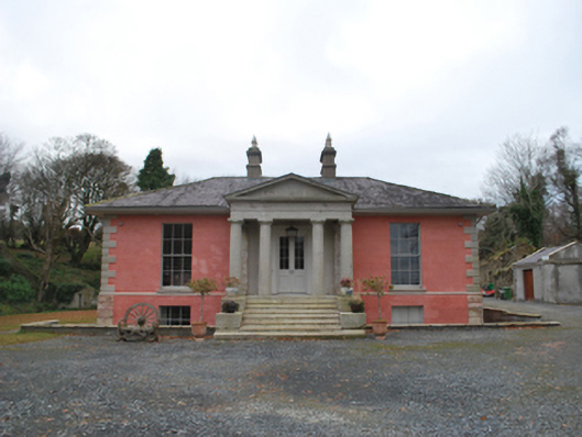 Glencullen Housecountry house · 855 yd
 Ballyedmonduff ForestForest · 1.2 mi
 Two Rock MountainMountain / peak · 1.3 mi
 Prince William's SeatMountain / peak · 1.4 mi
 Dublin Mountains Partnership InformationVisitor information · 1.6 mi
 Ballybetagh WoodForest · 1.6 mi
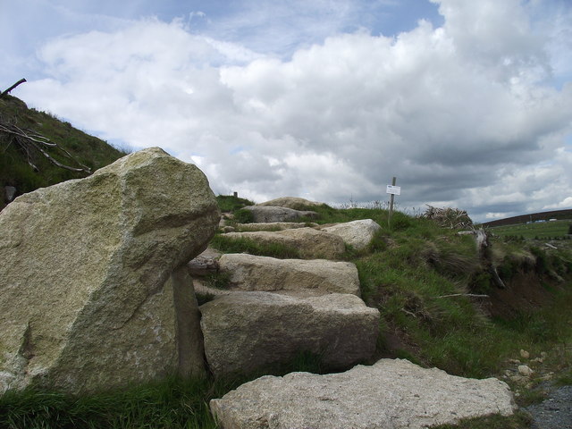 Wicklow WayWalking route · 1.6 mi
 Dublin Mountain Way informationVisitor information · 1.7 mi
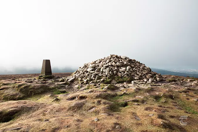 Ticknock - Fairy Castle LoopWalking route · 1.8 mi
Other information
Photo: Credit not shown in the picture search · Rights wording not checked; contact us if this picture should be removed