
What is recorded here
Located on a S-facing slope. A D-shaped area (int. dims c. 50m NNW-SSE; c. 40m ENE-WSW) with straight sides at S and W is defined by what is probably a broad bank (Wth c. 10-15m) and a narrow outer drain (ext. dims c. 70m NNW-SSE; c. 70m ENE-WSW). It is visible as a soil mark on iMaps (2022) and it is also visible on Google Earth (09/08/2022). It is visible as a cropmark on DigitalGlobe (2011-13). It was first reported by Jean Charles Caillére.
See the attached enhanced view from iMAPs (2022)
Compiled by: Michael Moore
Date of upload: 6 June 2023
A local fairy fort (ringfort/rath); wider significance not recorded.
The monument record does not grant public access. Check the route and ask the landowner before entering private land.
- What survives
- Recorded monument
Places near here
 IndicatedFairy fort / ringfort · 688 yd
 Site of R C ChapelChurch · 1209 yd
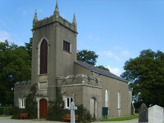 Saint Eigneach's Church (Killegney)church/chapel · 1311 yd
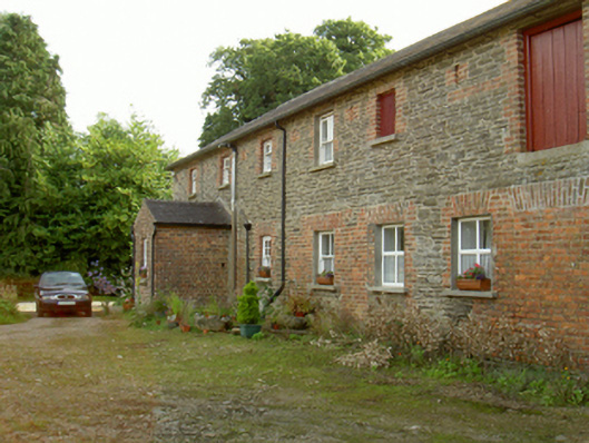 farmyard complexfarmyard complex · 1589 yd
 Ruin of a small castleRuins · 1.1 mi
 Carrickmastia HillMountain / peak · 3.7 mi
 1798 MemorialMemorial · 3.8 mi
 (Site of) CastleCastle, unclassified · 4.4 mi
 Killoughrum ForestForest · 4.8 mi
 Raheennahoon HillMountain / peak · 4.8 mi
 1798 RebellionMemorial · 4.9 mi
 Silver WattleSilver Wattle · 6.9 mi
Other information
Photo: Credit not shown in the picture search · Rights wording not checked; contact us if this picture should be removed