
What is recorded here
The site is situated in reclaimed pasture on ground falling away gradually to the SE. It is marked as a circular enclosure on the 1843 OS 6-inch map (diam c. 30m). This may be one of the 'circles' at Ballybetagh identified in the OS Letters in 1837 (Herity 2001, 15). The enclosure is not visible at ground level.
Compiled by: Geraldine Stout and Padraig Clancy.
Revised upload on: 14 April 2018.
The monument record does not grant public access. Check the route and ask the landowner before entering private land.
- What survives
- Recorded monument
Places near here
 Enclosure in BallybetaghEnclosure · 249 yd
 Hut site in BallybetaghHut site · 389 yd
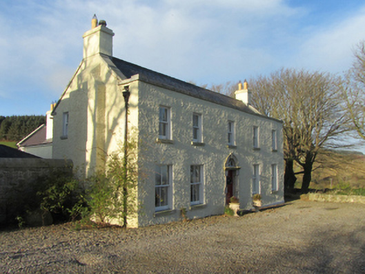 Ballybetagh Housefarm house · 600 yd
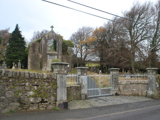 Saint Patrick's Catholic Chapelchurch/chapel · 763 yd
 Ballybetagh WoodForest · 947 yd
 Barnaslingan HillMountain / peak · 1.1 mi
 Barnaslingan - Scalp Lookout TrailWalking route · 1.2 mi
 Barnaslingan - Pine loop trailWalking route · 1.3 mi
 Ballycorus castle Site ofCastle, tower house · 1.4 mi
 Dingle GlenNature reserve · 1.6 mi
 Prince William's SeatMountain / peak · 2.0 mi
 Dublin Mountains Partnership InformationVisitor information · 2.6 mi
Other information
Photo: Credit not shown in the picture search · Rights wording not checked; contact us if this picture should be removed