What is recorded here
Situated in the NW corner of a field which is reclaimed pasture beside a golf course. The 1843 OS 6-inch map shows an enclosure, outlined with a broken line probably indicating a stone setting (diam. c. 25m). Not visible at ground level.
The monument record does not grant public access. Check the route and ask the landowner before entering private land.
- What survives
- Recorded monument
Places near here
 Springfieldcountry house · 566 yd
 Cairn (site of)Megalithic tomb · 604 yd
 IndicatedEnclosure · 643 yd
 Ballybetagh WoodForest · 658 yd
 Barnaslingan HillMountain / peak · 963 yd
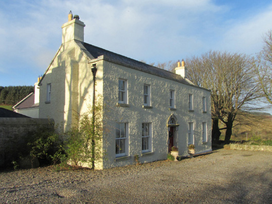 Ballybetagh Housefarm house · 1202 yd
 Barnaslingan - Scalp Lookout TrailWalking route · 1206 yd
 Barnaslingan - Pine loop trailWalking route · 1278 yd
 Ballycorus castle Site ofCastle, tower house · 1629 yd
 Carrickgollogan HillMountain / peak · 1.4 mi
 Dingle GlenNature reserve · 1.4 mi
 Puck's CastleCastle · 1.7 mi
Other information
Photo: Credit not shown in the picture search · Rights wording not checked; contact us if this picture should be removed