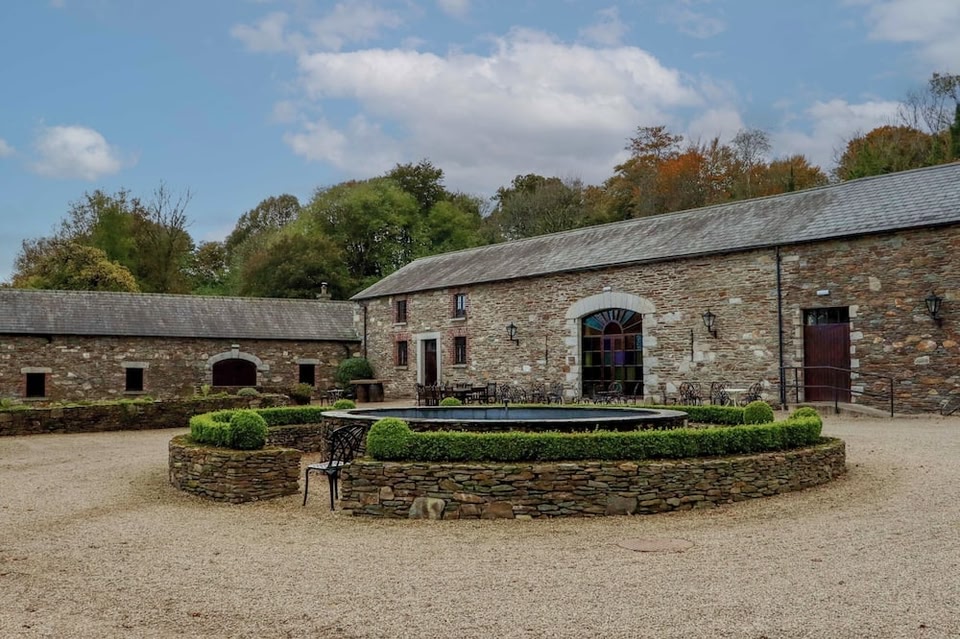
What is recorded here
Enclosure in Ballybeg is a D-shaped earthen ring in County Longford, possibly marking a lost castle or house. Its steep south face suggests people cut into it during the 18th or 19th century, taking material for some newer purpose. The flat northern edge aligns with a tree plantation, as if the landscape was shaped around the remains rather than hidden from them.
Within the W half of a designed landscape feature (LF023-015----). Marked as a roughly D-shaped enclosure on the 1914 edition of the OS 6-inch map with the straight side, running NNW-SSE, defined by the limits of the tree plantation. Described in 1975 (SMR file) as a ‘square structure’ defined by grass-covered stony banks (H1.5-2m); possibly the site of a castle or later building. It consists of an earthen bank enclosing a sunken square-shaped interior; there is no evidence of any enclosing element on the W side. The entrance is not apparent. The high steep-sided external face of the bank on the S side suggests that the enclosure may have been partially quarried or cut away in the 18th or 19th centuries. The dating of this monument is uncertain.
Compiled by: Caimin O'Brien
Date of upload: 13 November 2012
The monument record does not grant public access. Check the route and ask the landowner before entering private land.
- What survives
- Recorded monument
Places near here
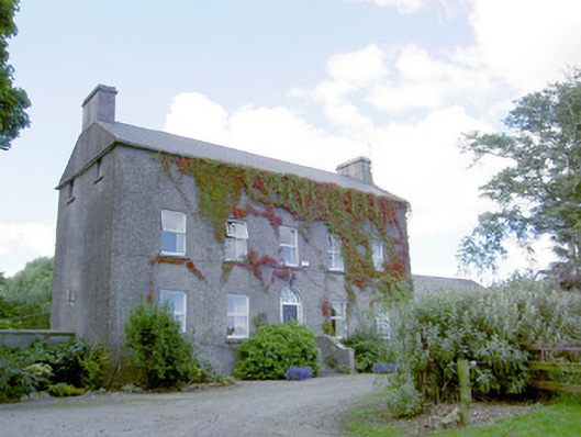 Richmount Hillhouse · 243 yd
 CastleCastle, motte · 304 yd
 IndicatedFairy fort / earthen ringfort · 759 yd
 Hachured fortFairy fort / earthen ringfort · 1.2 mi
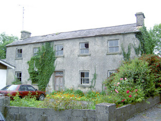 Keel Househouse · 1.3 mi
 DoonphilipCastle, motte · 1.6 mi
 National Famine WayWalking route · 3.2 mi
 Abbeyshrule AbbeyRuins · 3.8 mi
 Goldsmith Birthplace, PallasVisitor information · 4.1 mi
 Newcastle WoodsForest · 4.3 mi
 Target WoodWood · 4.5 mi
 Guest ServicesVisitor information · 4.9 mi
Other information
Photo: Credit not shown in the picture search · Rights wording not checked; contact us if this picture should be removed