What is recorded here
On flat grassland, in the NE corner of a field, an oval enclosure (overall diam. approx. 50m SSW-NNE ) defined by a large fosse visible as a cropmark. First identified on Bing maps by Jean-Charles Caillére and also confirmed on lidar imagery.
Compiled by: Margaret Keane
Uploaded on: 14th of January 2022.
The monument record does not grant public access. Check the route and ask the landowner before entering private land.
- What survives
- Recorded monument
Places near here
 Glenanorefarmyard complex · 297 yd
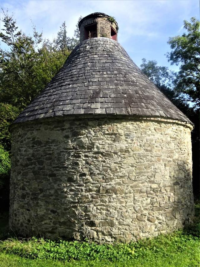 Dovecote in BallyadeenDovecote · 298 yd
 Bridge Millmill (water) · 610 yd
 Enclosure in BallyadeenEnclosure · 678 yd
 Anne's Grove GardensHeritage attraction · 1.8 mi
 Castle (in Ruins)Castle, unclassified · 2.0 mi
 Blackwater (Avondhu) WayWalking route · 2.4 mi
 Shanballymore Castle (Site of)Castle, unclassified · 3.0 mi
 Priest's WoodForest · 3.0 mi
 Johnson's WoodForest · 3.3 mi
 Knocknaskagh North TopMountain / peak · 3.9 mi
 Graveyard in BoherashGraveyard · 4.1 mi