What is recorded here
In tillage on the W edge of Ballon village. A circular enclosure (diam. c. 30m), identified as the cropmark of a fosse on satellite imagery (Google Earth satellite imagery, 21 July 2021) by Jean-Charles Caillère. Dark staining evident in the W sector of the interior may indicate a waterlogged area or back-filled quarrying.
See attached:
CW013-130----_01 Google Earth satellite imagery, 21 July 2021
Compiled by: Jean Farrelly
Date of upload: 7 December 2021
The monument record does not grant public access. Check the route and ask the landowner before entering private land.
- What survives
- Recorded monument
Places near here
 Church (in ruins), GraveyardChurch · 367 yd
 Catholic Church of Saint Peter and Saint Paulchurch/chapel · 406 yd
 Enclosure in BallonEnclosure · 418 yd
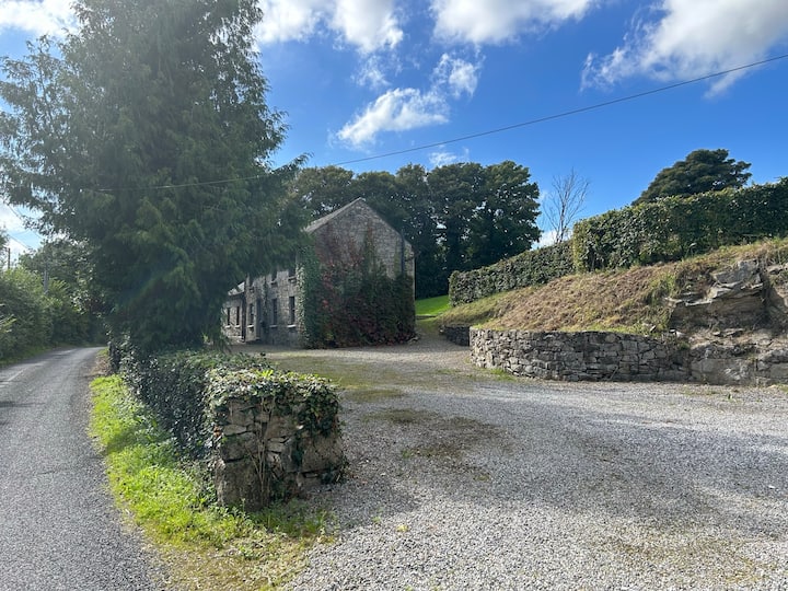 No indicatedEnclosure · 533 yd
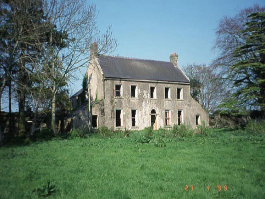 Ballinvally Housefarm house · 835 yd
 Castlegrace MoatCastle, motte · 1.7 mi
 Altamont Gardens MapVisitor information · 2.3 mi
 Scots PineScots Pine · 2.3 mi
 Altamont House and GardensHeritage attraction · 2.4 mi
 English hollyEnglish holly · 2.7 mi
 Ballynunnery Castle in ruinsCastle, unclassified · 3.4 mi
 Kilmurry Church (in ruins), GraveyardChurch · 3.5 mi