
What is recorded here
Aerial photograph (GB89.AH.17) shows cropmark of a large curvilinear enclosure with an annexe, defined by a fosse; the morphology is complicated by extensive landscape rationalisation.
Compiled by: Dr Gillian Barrett for the Archaeological Survey of Ireland.
Date of upload: 10 June 2009
The monument record does not grant public access. Check the route and ask the landowner before entering private land.
- What survives
- Recorded monument
Places near here
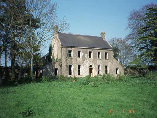 Ballinvally Housefarm house · 606 yd
 Enclosure in BallyleenEnclosure · 823 yd
 Enclosure in BallykealeyEnclosure · 1170 yd
 Church (in ruins), GraveyardChurch · 1421 yd
 Catholic Church of Saint Peter and Saint Paulchurch/chapel · 1476 yd
 Castlegrace MoatCastle, motte · 2.2 mi
 English hollyEnglish holly · 2.7 mi
 Altamont Gardens MapVisitor information · 2.9 mi
 Scots PineScots Pine · 2.9 mi
 Altamont House and GardensHeritage attraction · 3.0 mi
 Ballynunnery Castle in ruinsCastle, unclassified · 3.2 mi
 Kilmurry Church (in ruins), GraveyardChurch · 3.3 mi
Other information
Photo: Credit not shown in the picture search · Rights wording not checked; contact us if this picture should be removed