What is recorded here
A roughly D-shaped enclosure (overall diam. c. 30m NW-SE; c. 36m NE-SE; straight NW side L c. 27m), defined by a bank (Wth c. 8m) which is visible on satellite imagery (Google Earth, Image © 2024 Maxar Technologies, Imagery Date 16 December 2016 and Google Earth, Image © 2024 Maxar Technologies, Imagery Date 14 November 2022), identified and reported by Jean-Charles Caillère.
Compiled by: Jean Farrelly
The monument record does not grant public access. Check the route and ask the landowner before entering private land.
- What survives
- Recorded monument
Places near here
 Ballintotty Castle (in ruins)Castle, tower house · 639 yd
 Settlement desertedSettlement deserted, medieval · 647 yd
 Fulacht fia in BallintottyFulacht fia · 960 yd
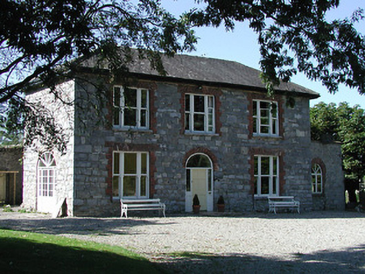 Knockalton Househouse · 1680 yd
 Islandbawn Millsmill (water) · 1.1 mi
 Rathurles CastleCastle · 1.4 mi
 Gibbet HillMountain / peak · 1.5 mi
 Old BarracksHeritage attraction · 2.8 mi
 Nenagh Heritage CentreMuseum · 3.0 mi
 James Devaney MemorialMemorial · 3.1 mi
 Knockacraheen HillMountain / peak · 3.8 mi
 Killavalla WoodForest · 4.5 mi