
What is recorded here
The site was uncovered during monitoring/testing in advance of Nenagh Bypass. A low, burnt stone mound (dims. c.16m x 9m; D c.0.3-0.4m) with an unlined rectangular trough (dims. 2.4m x 1.2m; D 0.32m) filled with burnt stones (O'Brien 2000, 196). 'A post-hole was found at each internal corner of the trough edges. A possible pot boiler feature was “attached” to the north-west edge of the trough, and beside this was a shallow linear cut - the remains of a windbreak. A number of additional pits and/or smaller troughs were cut into natural at the north-east and east edges of the mound' (ibid.). Approximately 10m ESE of the burnt mound there was a roughly oval spread of burnt stones (dims. c.11m x 9m; D c.0.2m), beneath which were a number of pits/small troughs with further evidence of clusters of stake-holes (ibid.). 'The northern area between both sites had a metalled stone surface surrounding some of the pits, perhaps indicative of connecting pathways. Finds from both sites consisted of small quantities of animal bone and teeth, some chert flakes, unworked wood and charcoal' (ibid.).
Compiled by: Caimin O'Brien.
Date of upload: 22 September 2008
The monument record does not grant public access. Check the route and ask the landowner before entering private land.
- What survives
- Recorded monument
Places near here
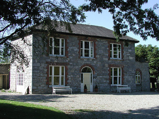 Knockalton Househouse · 734 yd
 Enclosure in BallintottyEnclosure · 1008 yd
 Ballintotty Castle (in ruins)Castle, tower house · 1266 yd
 Settlement desertedSettlement deserted, medieval · 1266 yd
 Islandbawn Millsmill (water) · 1417 yd
 Lisbunny CastleCastle, hall-house · 1.0 mi
 Gibbet HillMountain / peak · 1.4 mi
 Old BarracksHeritage attraction · 2.2 mi
 Nenagh Heritage CentreMuseum · 2.4 mi
 James Devaney MemorialMemorial · 3.0 mi
 Knockacraheen HillMountain / peak · 4.2 mi
 Sweet ChestnutSweet Chestnut · 4.8 mi
Other information
Photo: Credit not shown in the picture search · Rights wording not checked; contact us if this picture should be removed