What is recorded here
An oval enclosure (dims. c. 58m NE-SW; c. 50m NW-SE) defined by a fosse, visible as a cropmark on satellite imagery (2021 Maxar Technologies, viewed May 2021) identified and reported by Jean-Charles Caillère. A natural pond occupies most of the W half of the enclosure and it is possible that the cropmark outlines the original extent of the pond. The 1st (1840-41) ed. OS 6-inch map and 1906 revision indicate a well immediately SW of the pond. A ringfort (TS060-110----) is located c. 400m to the WSW.
See attached photograph:
TS060-148----_01 Satellite image (2021 Maxar Technologies, viewed May 2021)
Compiled by: Jean Farrelly
Date of upload: 2 June 2021
The monument record does not grant public access. Check the route and ask the landowner before entering private land.
- What survives
- Recorded monument
Places near here
 Enclosure in KnockbullogeEnclosure · 312 yd
 Enclosure in WindmillEnclosure · 909 yd
 Site of CastleCastle, unclassified · 1254 yd
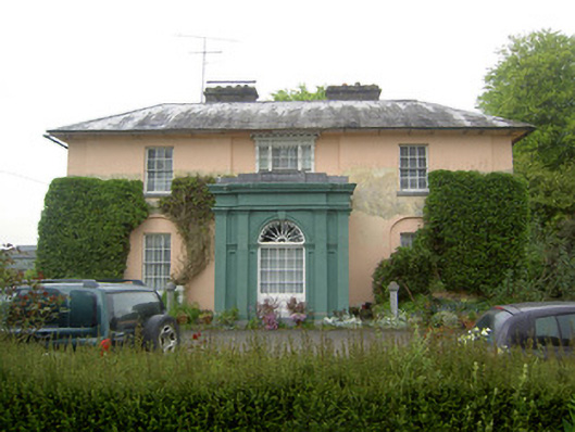 Racecourse Hallcountry house · 1395 yd
 Shanballyduff Househouse · 1444 yd
 Shanballyduff CastleCastle · 1474 yd
 Hore AbbeyHeritage attraction · 1.6 mi
 Black mulberryBlack mulberry · 1.7 mi
 Cashel Folk MusuemMuseum · 1.7 mi
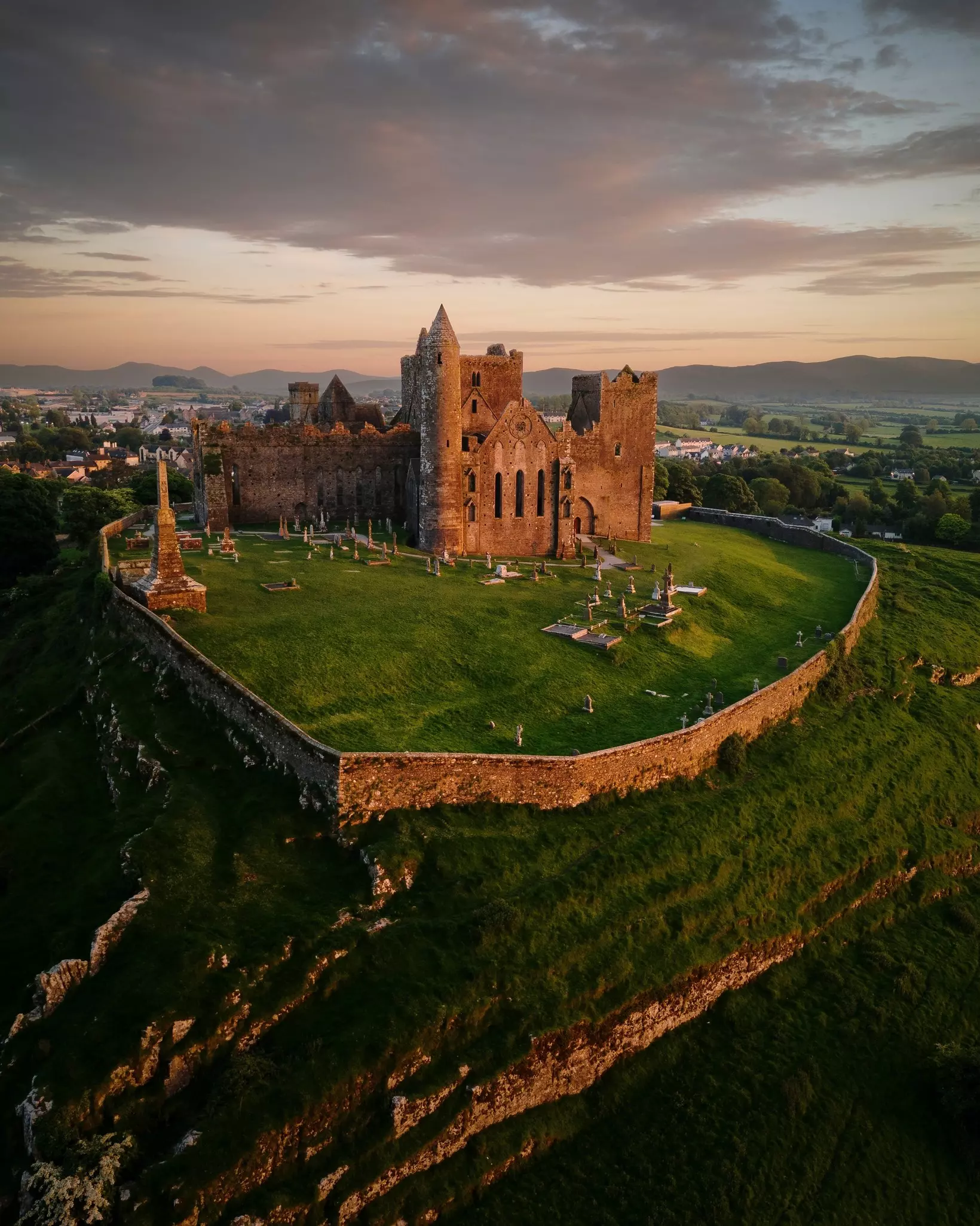
 The Rock Of CashelVisitor information · 1.8 mi
 Dundrum Woods (Marl Bog)Forest · 7.7 mi
 Site of TemplemoveeChurch · 1204 yd