
What is recorded here
Marked on the 1841 edition of the OS 6-inch map as a subcircular enclosure (max. diam. c. 85m NW-SE). Cropmark of enclosure visible on aerial photographs (CUCAP, ATA 24; AYN 24). No visible surface remains.
The monument record does not grant public access. Check the route and ask the landowner before entering private land.
- What survives
- Recorded monument
Places near here
 Enclosure in Raheen (maryborough East By.)Enclosure · 468 yd
 IndicatedEnclosure · 558 yd
 Kilteale Church (in Ruins)Church · 1103 yd
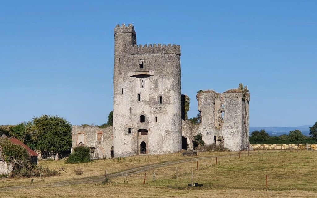 CastleCastle, unclassified · 1263 yd
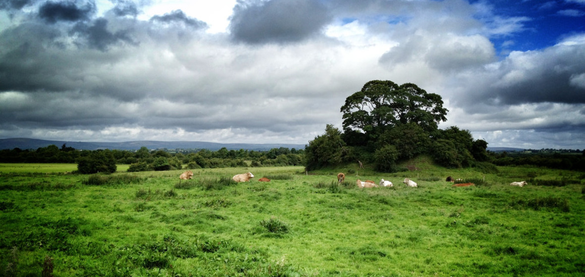 Bawn in Ballymaddock (stradbally By.)Bawn · 1578 yd
 Holy Trinity Church (Kilteale)church/chapel · 1.0 mi
 Rock of Dunamase InformationVisitor information · 1.1 mi
 Rock of DunamaseCastle · 1.1 mi
 European BeechEuropean Beech · 2.8 mi
 CEMETERYGraveyard · 3.6 mi
 Black WalnutBlack Walnut · 3.8 mi
 Oughaval Wood MapVisitor information · 4.0 mi
Other information
Photo: Credit not shown in the picture search · Rights wording not checked; contact us if this picture should be removed