
What is recorded here
Situated on very slight rise in gently undulating low-lying pasture. Slightly raised circular area (diam. 14m) enclosed by a low broad bank of earth and stone (Wth 4.15m; int. H 0.3m). There is no fosse visible at ground level. From SSW-E the bank is absent and the site is defined by a very slight scarp. The original entrance is not recognisable. A hut site (SL008-133001-) is located in the NE quadrant of the interior.
Compiled by: Patrick F. O'Donovan
Date of upload: 21 April 2011
The monument record does not grant public access. Check the route and ask the landowner before entering private land.
- What survives
- Recorded monument
Places near here
 Field system in BallincarField system · 230 yd
 Flour millMill, unclassified · 408 yd
 Cultivation ridges in BallincarCultivation ridges · 664 yd
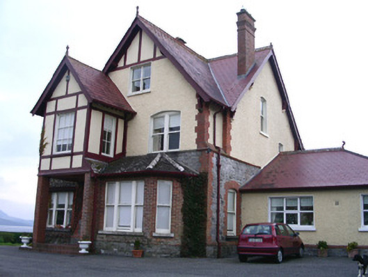 Rossavillehouse · 730 yd
 Grave of WB YeatsHeritage attraction · 1.7 mi
 Drumcliff CemeteryGraveyard · 1.7 mi
 CastleCastle, unclassified · 1.9 mi
 Famine MemorialMonument · 2.2 mi
 European BeechEuropean Beech · 2.3 mi
 Model Niland GalleryHeritage attraction · 2.4 mi
 Oyster IslandIslet · 2.7 mi
 Castle (in Ruins)Castle, unclassified · 2.9 mi
Other information
Photo: Credit not shown in the picture search · Rights wording not checked; contact us if this picture should be removed