
What is recorded here
Aerial photograph (GB89.W.25) shows cropmark of a large, but incomplete, curvilinear enclosure defined by a fosse, with traces of a second internal concentric fosse.
The monument record does not grant public access. Check the route and ask the landowner before entering private land.
- What survives
- Recorded monument
Places near here
 Enclosure in BallinabranaghEnclosure · 335 yd
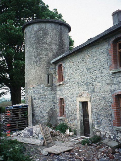 The Tower Housefarm house · 485 yd
 Saint Fintan's Catholic Churchchurch/chapel · 514 yd
 Enclosure in CraanluskyEnclosure · 625 yd
 Graveyard in Tomard Lower (3 Detached Portions)Graveyard · 1575 yd
 Church (in ruins), GraveyardChurch · 1.6 mi
 Clogrenan CastleCastle, tower house · 2.0 mi
 Gallows HillMountain / peak · 2.7 mi
 Black Castle (in ruins)Castle, tower house · 3.1 mi
 Common LimeCommon Lime · 3.2 mi
 Pedunculate OakPedunculate Oak · 3.8 mi
 Carlow CastleRuined medieval castle · 4.2 mi
Other information
Photo: Credit not shown in the picture search · Rights wording not checked; contact us if this picture should be removed