What is recorded here
On quite a steep NE-facing slope on the NE side of a ridge running SE-NW overlooking a valley running NW-SE, in rough pasture. The view is good N and extensive E but is blocked to the S and W by rising ground. Identified on statellite imagery by Katherine McCormack, this enclosure is not depicted on any OS maps. A slightly oval enclosure (diam. 31m N-S; 36m E-W) defined by low grass-covered stoney bank (int. H 0.5-0.95m; ext. H 0.25-0.65m; Wth at crest 1.1-1.4m; overall Wth 3.3-3.65m) with a slight fosse (Wth 2.3-3.2m; D 0.2-0.35m) visible in the NW quadrant. It is built into the slope of the ridge. The bank is quite denuded in the NE quadrant, is very low but evident from NE-S-SW and is best preserved from SW-W-N. There is a concentration of thistles growing in the interior.
Compiled by: Jean Farrelly
Date of upload: 30 July 2018
The monument record does not grant public access. Check the route and ask the landowner before entering private land.
- What survives
- Recorded monument
Places near here
 CastleCastle, unclassified · 554 yd
 Balleen Castle (ruins)Castle · 554 yd
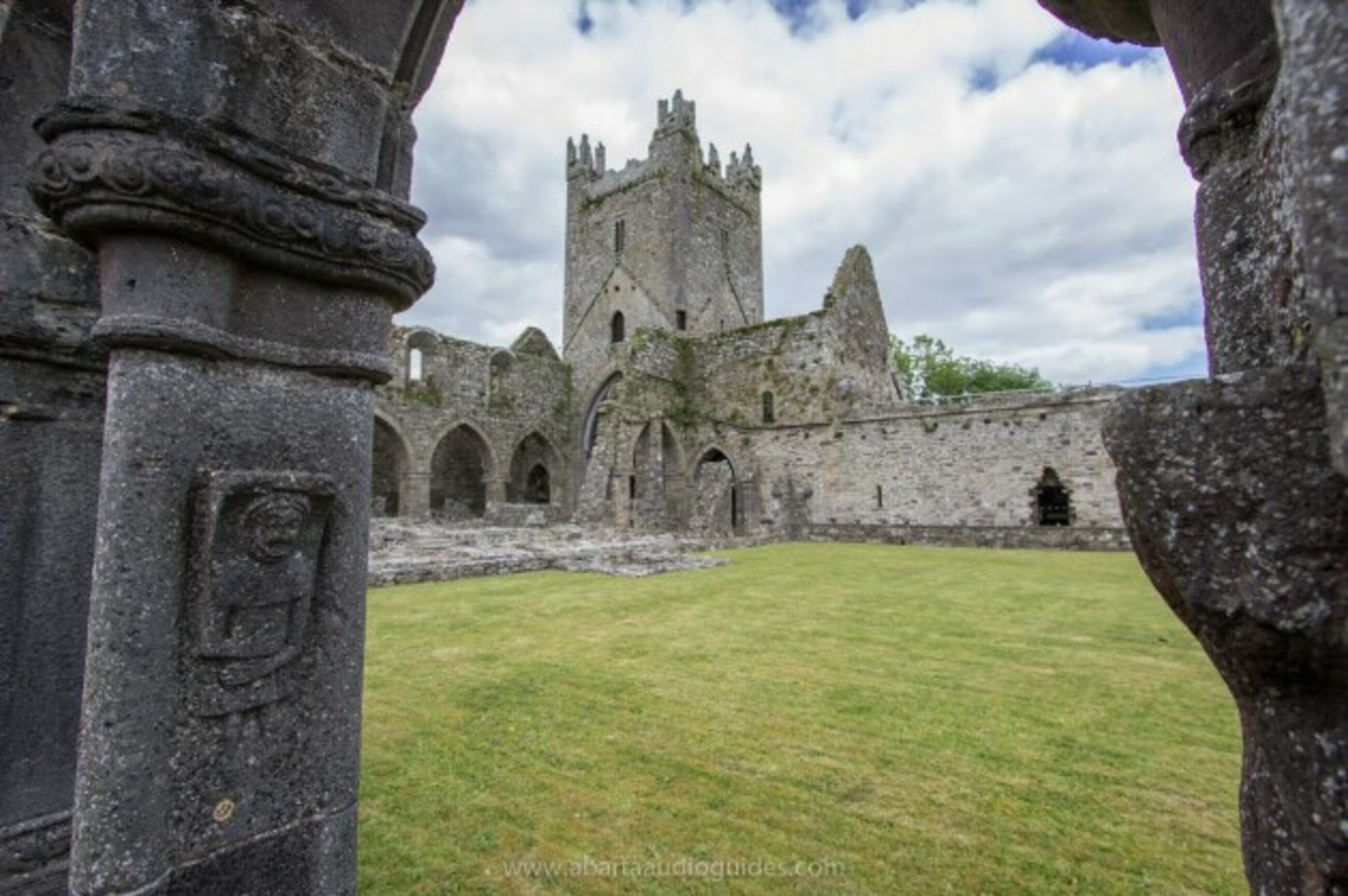 Church in Tifeaghna (browne)Church · 892 yd
 Site of Monastic houseEcclesiastical site · 1180 yd
 Garranamanagh Ringfort (rath)Archaeological place · 1216 yd
 Killsheffin Burying GroundChurch · 1618 yd
 The PondsForest · 1.7 mi
 Freshford LoopWalking route · 2.0 mi
 Emma Jane Browne-ClaytonMemorial · 2.0 mi
 Red horse-chestnutRed horse-chestnut · 2.0 mi
 Clomantagh HillMountain / peak · 3.1 mi
 John HelyMemorial · 4.9 mi