
What is recorded here
A rectangular enclosure is visible on an aerial photograph (CUCAP, AIG 95) taken in 1970. The enclosure, a possible moated site was originally situated in low-lying marshy ground. It was built over with the Seagrange housing estate in 1973. However the Grassroots Archaeology project, a community archaeology projec,t has over the past two seasons endeavoured to locate the remains of the monument in the gardens and open space of the housing estate. The open space was subject to geophysical survey (Licence no. 13R026) and identified the location of a natural spring and anomaly that may represent a leat. While test-excavation (Licence no. 13E0238) has yet to identify the enclosure ditch, medieval pottery has been recovered.
Compiled by: Geraldine Stout
Updated by: Christine Baker
Date of upload: 26 January 2015
A local fairy fort (ringfort/rath); wider significance not recorded.
The monument record does not grant public access. Check the route and ask the landowner before entering private land.
- What survives
- Recorded monument
Places near here
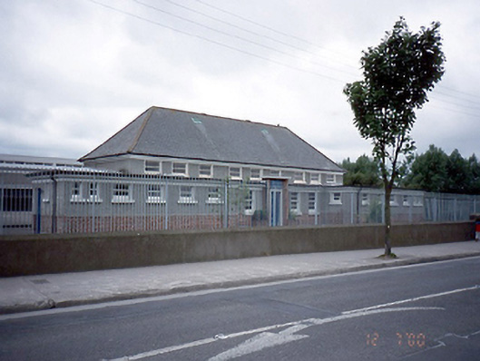 Saint Laurence's National Schoolschool · 606 yd
 Map of Baldoyle Industrial EstateVisitor information · 758 yd
 Graveyard in Kilbarrack LowerGraveyard · 793 yd
 Church (in ruins)Church · 807 yd
 Burrow FieldRabbit warren · 1175 yd
 Mound, Knock of HowthBurial mound · 1325 yd
 Baldoyle Estuary Nature ReserveNature reserve · 1.0 mi
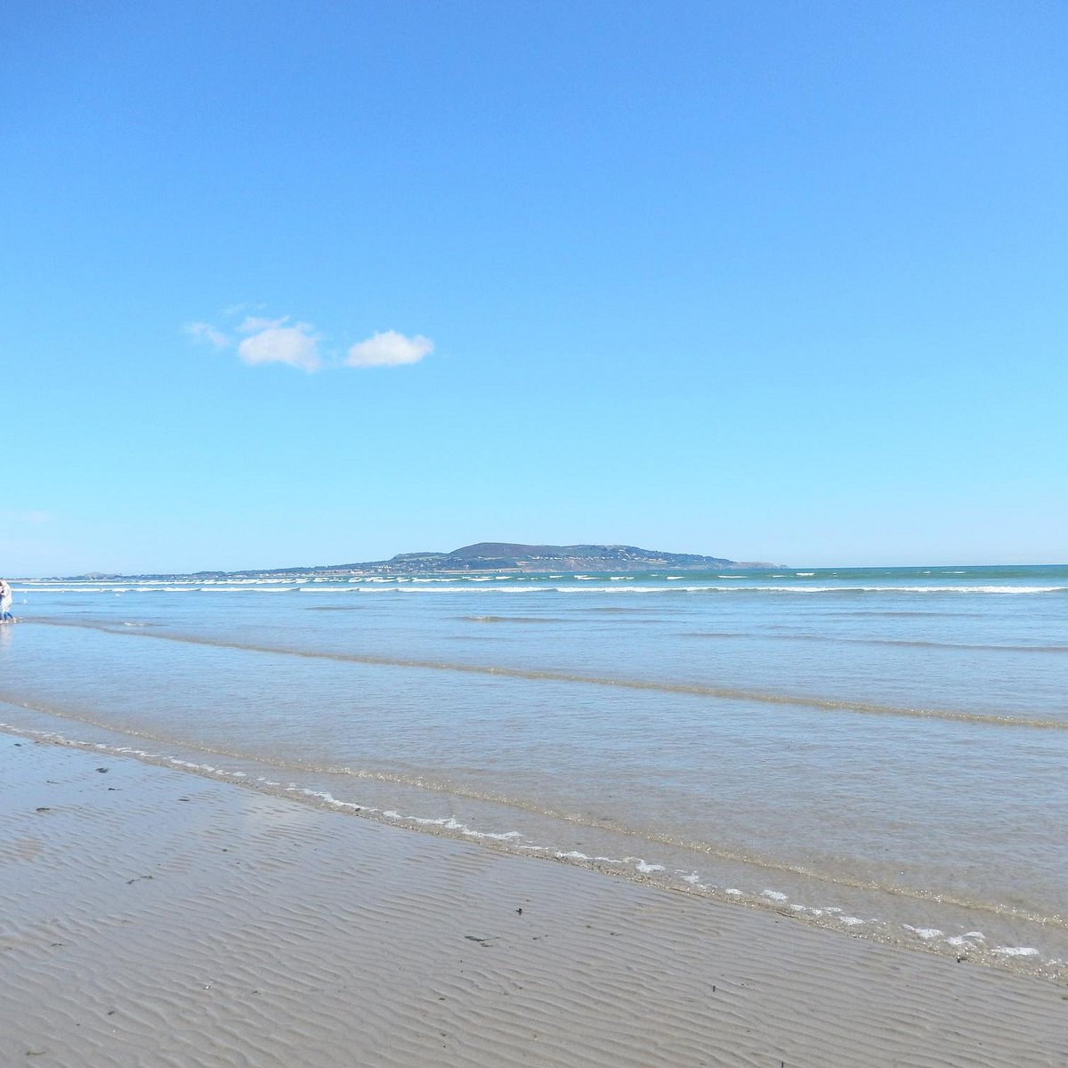 Bull Island Wildlife Only AreaNature reserve · 1.1 mi
 Burrow BeachBeach / strand · 1.5 mi
 Bull Island Nature ReserveVisitor information · 1.7 mi
 Strand Mill RuinsRuins · 1.7 mi
 Ayrfied UnitedHeritage attraction · 1.8 mi
Other information
Photo: Credit not shown in the picture search · Rights wording not checked; contact us if this picture should be removed