What is recorded here
In reclaimed pasture 105m W of a watercourse that marks the townland boundary with Baggotstown East. Enclosure (LI040-187----) lies 75m to S. Not depicted on OSi historic maps. Identified as a circular-shaped cropmark from aerial photograph (ASIAP (347) 4) taken 05/01/2003. Faint trace of cropmark (diam. c. 25m) visible on Google Earth orthoimage taken 20/09/2020. Outline of possible enclosure clearly visible on Google Earth orthoimage taken 25/03/2017.
See attached aerial photograph (ASIAP (347) 4) and Google Earth orthoimages.
Compiled by: Martin Fitzpatrick
Date of upload: 28 June 2021
The monument record does not grant public access. Check the route and ask the landowner before entering private land.
- What survives
- Recorded monument
Places near here
 BarrowBarrow, ditch barrow · 164 yd
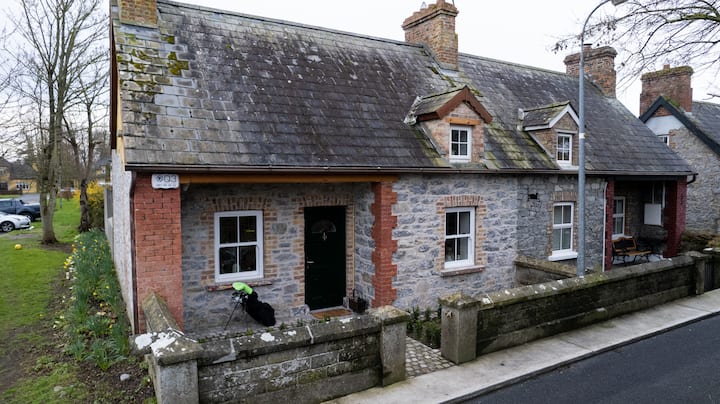 Enclosure in BaggotstownEnclosure · 180 yd
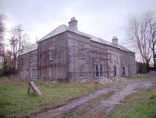 Baggotstown Housecountry house · 1020 yd
 KnockainyMountain / peak · 1390 yd
 Kilballyowen HouseCastle, unclassified · 1429 yd
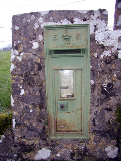 post boxpost box · 1512 yd
 Knockainy Castle (in ruins)Castle, tower house · 1641 yd
 Glen BogForest · 1.5 mi
 Flat cemetery in Knockainy WestFlat cemetery · 1.5 mi
 St Patrick's WellSpring · 4.7 mi
 Kilteely HillMountain / peak · 5.0 mi
 St. Patrick's WellSpring · 5.4 mi