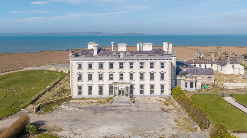
What is recorded here
Situated on the W-facing slope towards the S end of a NNE-SSW ridge. The cropmark of a circular area (diam. c. 40m) defined by a single fosse is visible only on iMAPs (2022). The perimeter is incorporated into a field bank SE-S, and what might be a single pit is visible in the SW quadrant of the interior. It was first reported by Jean Charles Caillére.
See the attached enhanced view from iMAPs (2022)
Compiled by: Michael Moore
Date of upload: 6 June 2023
A local fairy fort (ringfort/rath); wider significance not recorded.
The monument record does not grant public access. Check the route and ask the landowner before entering private land.
- What survives
- Recorded monument
Places near here
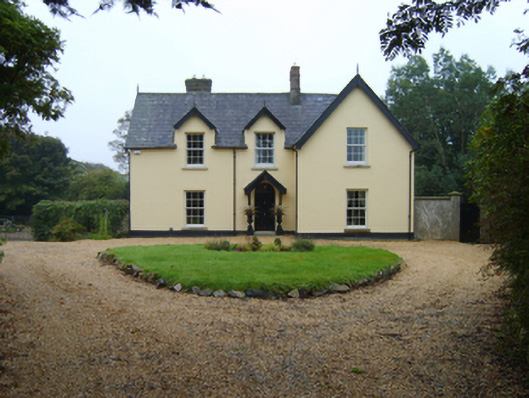 Ozier Hill Housefarm house · 1117 yd
 CastleCastle, unclassified · 1309 yd
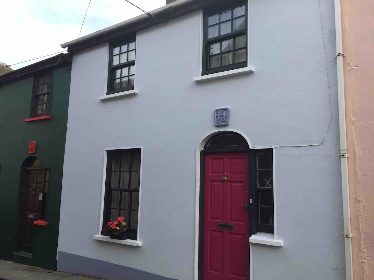 Harperstown HouseRuins · 1332 yd
 Bawn in SiginshaggardBawn · 1514 yd
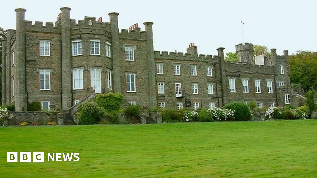 Nunnery WellHoly well · 1.2 mi
 Field system in TaghmonField system · 1.3 mi
 Carrickatinna RockMountain / peak · 2.4 mi
 Skeater RockMountain / peak · 2.7 mi
 Battle Of The Three RocksMemorial · 4.0 mi
 Coolcliffe HouseRuins · 4.1 mi
 Battle of Three Rocksbattle · 4.4 mi
 Celebrating 125 YearsMemorial · 5.5 mi
Other information
Photo: Credit not shown in the picture search · Rights wording not checked; contact us if this picture should be removed