
What is recorded here
A sub-circular enclosure defined by at least three fosses and other associated features is visible as a crop mark on an aerial photograph (SMR file; pers. comm. Dr Steve Davis). Located on relatively high ground under rough grass. No visible remains.
Compiled by: Paul Walsh
Updated by: Christine Baker
Date of upload: 18 January 2015
The monument record does not grant public access. Check the route and ask the landowner before entering private land.
- What survives
- Recorded monument
Places near here
 IndicatedMound · 553 yd
 Lady WellHoly well · 578 yd
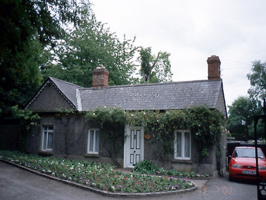 Malahide Castlegate lodge · 825 yd
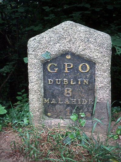 milestone/milepostmilestone/milepost · 885 yd
 CastleCastle, unclassified · 972 yd
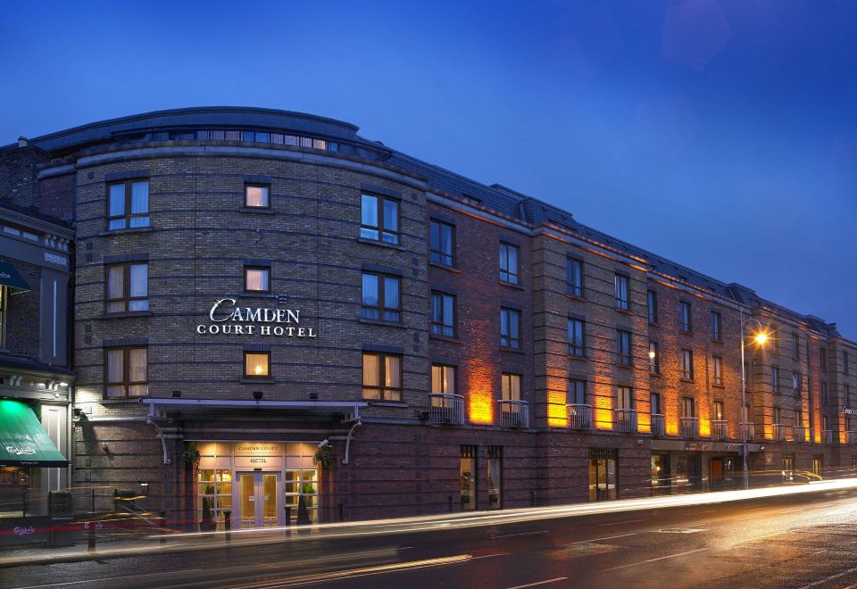 Kinsealy CourtMemorial · 1042 yd
 Malahide Castle Demesne Church (Ruin)Ruins · 1730 yd
 Malahide DemesneVisitor information · 1.2 mi
 Casino Model Railway MuseumMuseum · 1.3 mi
 Welcome To MalahideVisitor information · 1.6 mi
 St Catherine's WellSpring · 1.8 mi
 Swords Round TowerHeritage attraction · 1.9 mi
Other information
Photo: Credit not shown in the picture search · Rights wording not checked; contact us if this picture should be removed