What is recorded here
In pasture atop E-W ridge. Large circular area (c. 60m N-S; c. 60m E-W) enclosed by substantial earthen bank (int. H 1.65m) with filled-in fosse; modern breaks (Wth 6m) in bank to S and NNE. Farm laneway runs through E side. Smaller (diam. c. 30m) internal circular enclosure (depicted on both eds OS 6-inch map), planted with conifers and inaccessible.
The above description is derived from the published 'Archaeological Inventory of County Cork. Volume 1: West Cork' (Dublin: Stationery Office, 1992). In certain instances the entries have been revised and updated in the light of recent research.
Date of upload/revision: 14 January 2009
The monument record does not grant public access. Check the route and ask the landowner before entering private land.
- What survives
- Recorded monument
Places near here
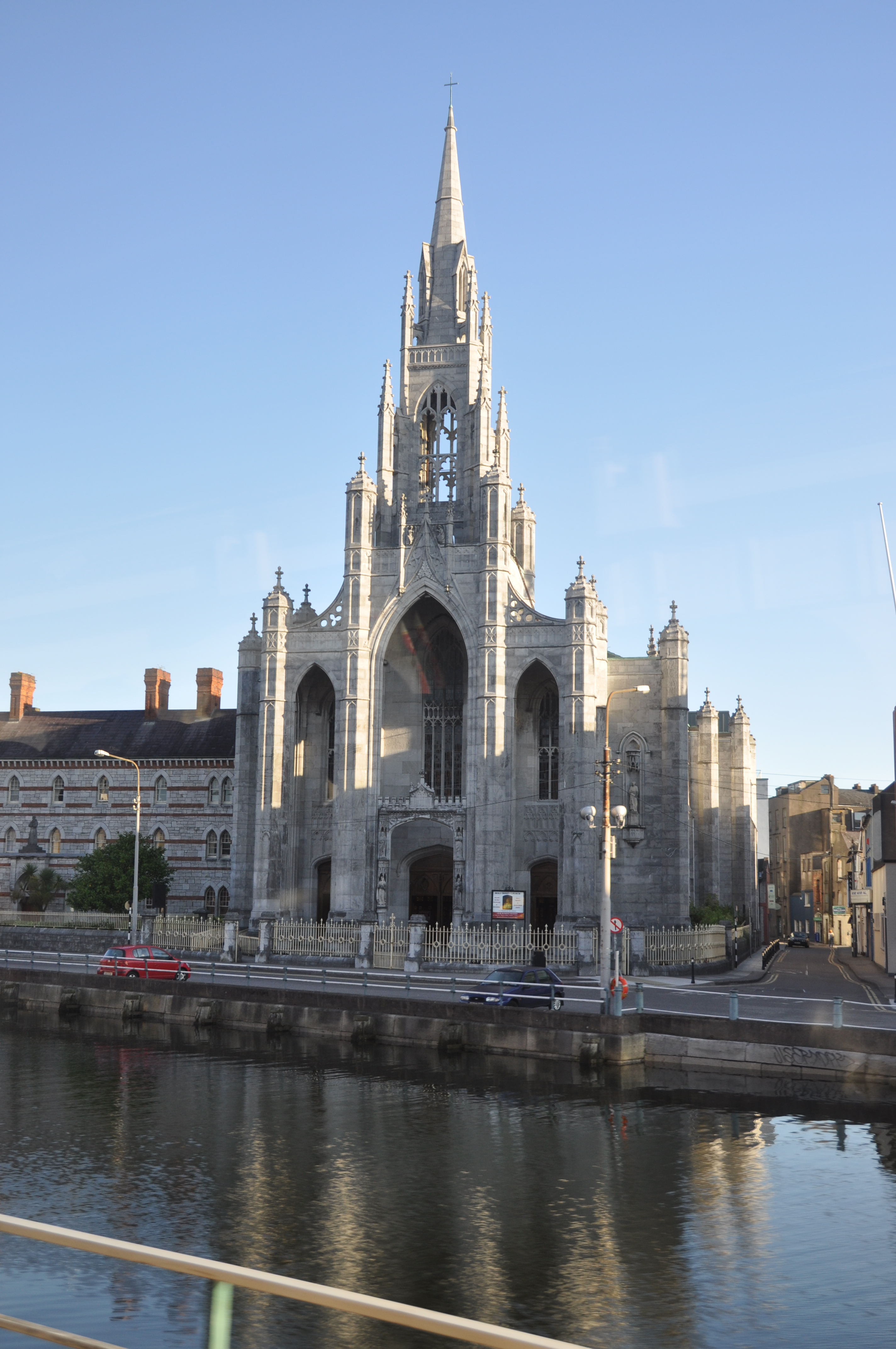 Currarane Church (in Ruins)Church · 1318 yd
 Ballycatteen WoodWood · 1320 yd
 Garrettstown ForestWood · 1433 yd
 Church of Ireland Templetrinechurch/chapel · 1704 yd
 Man-made underground passage in Gortnacrusha NorthMan-made underground passage · 1725 yd
 Moated site in BallynascubbigMoated site · 1.1 mi
 Crois Na Leanbh MemorialMemorial · 1.8 mi
 Garranefeen StrandBeach / strand · 1.9 mi
 The Moving StatueHeritage attraction · 2.0 mi
 Castle (in Ruins)Castle, tower house · 2.2 mi
 Scott's StrandBeach / strand · 2.2 mi
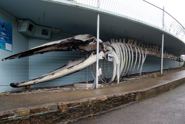 Kilbrittain WhaleHeritage attraction · 2.2 mi