What is recorded here
A number of cropmarks visible on aerial photograph (CUCAP, BDH 12), with probable associated enclosure site (LH008-084----) to W.
Compiled by: Claire Breen
Date of upload: 13 March 2012
The monument record does not grant public access. Check the route and ask the landowner before entering private land.
- What survives
- Recorded monument
Places near here
 Enclosure in Ardtully MoreEnclosure · 99 yd
 Enclosure in WillvilleEnclosure · 286 yd
 Ballug CastleCastle · 997 yd
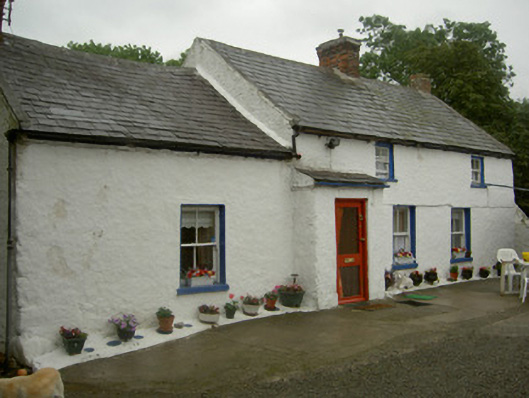 farm housefarm house · 1076 yd
 Church in ruinsChurch · 1264 yd
 Cooley PointHeadland · 1.3 mi
 The BushPicnic place · 1.4 mi
 St James WellSpring · 1.7 mi
 Castle in RuinsCastle, unclassified · 2.0 mi
 Grange UpperMountain / peak · 2.2 mi
 GreenoreVisitor information · 2.7 mi
 BarnavaveMountain / peak · 2.8 mi