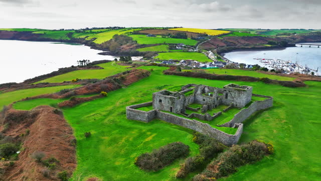
What is recorded here
In rough hill grazing on bog on the SW-facing slopes of the Maughanaclea Hills. A circular area (diam. 9m) is defined by the remains of a stone wall (T 0.7m; H 0.3m), largely hidden in moor grass and gorse, and protruding intermittently above the surface of the bog. (Myler 1998, 59, no. 38).
The above description is derived from 'The Archaeological Inventory of County Cork. Volume 5' (Dublin: Stationery Office, 2009).
Date of upload: 22 December 2009
The monument record does not grant public access. Check the route and ask the landowner before entering private land.
- What survives
- Recorded monument
Places near here
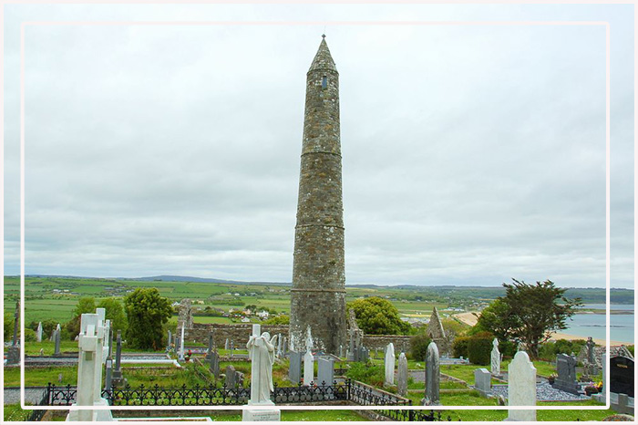 CairnCairn, unclassified · 73 yd
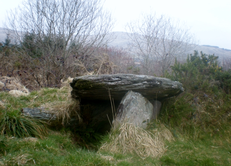 Wedge tomb in Ardrah (bantry By.),gortnacowlyWedge tomb · 280 yd
 St Finbarr's Pilgrim RouteWalking route · 1.2 mi
 Carding MillMill, carding · 1.4 mi
 MillMill, fulling · 1.4 mi
 Kealkill stone circleVisitor information · 1.8 mi
 Mullach MéiseMountain / peak · 2.1 mi
 Carriganass CastleCastle · 2.4 mi
 KnockbreteenMountain / peak · 2.9 mi
 Castle Donovan (in Ruins)Castle, tower house · 3.7 mi
 Francis O'Neill PlaqueMemorial · 4.5 mi
 Delish Cascade WalkWalking route · 4.6 mi
Other information
Photo: Credit not shown in the picture search · Rights wording not checked; contact us if this picture should be removed