What is recorded here
There is no sign of the ruined 'Fort' marked on the 1st edition of the OS 6-inch map. It was situated on a level shoulder of good land. A stone-lined pit, 3ft × 2ft 6in × 1ft 6in deep covered by a capstone was discovered in this field. It had a 'different colour soil at the bottom'. It may have been a Man-made underground passage but sounds more like a cist (DG055-013002-) (local information).
The above description was derived from the 'Archaeological Survey of County Donegal. A description of the field antiquities of the County from the Mesolithic Period to the 17th century.' Compiled by: Brian Lacey with Eamon Cody, Claire Cotter, Judy Cuppage, Noel Dunne, Vincent Hurley, Celie O'Rahilly, Paul Walsh and Seán Ó Nualláin (Lifford: Donegal County Council, 1983). In certain instances the entries have been revised and updated.
Date of upload: 22 September 2008
A local fairy fort (ringfort/rath); wider significance not recorded.
The monument record does not grant public access. Check the route and ask the landowner before entering private land.
- What survives
- Recorded monument
Places near here
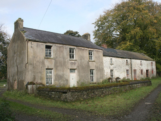 miller's house, LEGNADUFFmiller's house · 612 yd
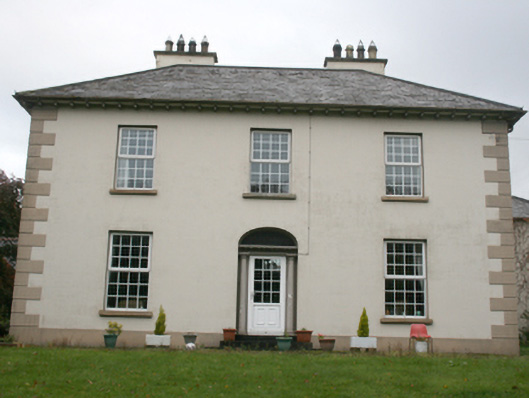 house, Imlickhouse · 775 yd
 Fairy fort / ringfort in AltaghaderryFairy fort / ringfort · 1239 yd
 ENCLOSURE in KilleaENCLOSURE · 1268 yd
 Castle, unclassified in Carrigans,cloghfin (killen Ed)Castle, unclassified · 1.3 mi
 Emmery Celtic CrossWood · 2.9 mi
 Prehen WoodsForest · 3.0 mi
 Gortmonly HillMountain / peak · 3.4 mi
 Double BastionViewpoint · 3.8 mi
 Seán Ó CianáinMemorial · 3.9 mi
 Church BastionViewpoint · 3.9 mi
 Foyle Valley Railway MuseumMuseum · 3.9 mi