
What is recorded here
On a slight rise (OD 332’) in pasture. Reported by Jean-Charles Caillere. Visible on Google Earth aerial imagery (24-3-2017) as the cropmark of a large, circular enclosure (est. diam. c. 90m) defined by a broad, back-filled fosse (est. Wth c. 5-8m). The townland boundary with Ardlagheen Beg (to the E) runs NNE-SSW across the site and a local road runs across the site from the WNW and bends sharply to run SSW over the interior.
See attached image: RO035-125----_01 Google Earth aerial image, 24-3-2017.
Compiled by: Gearóid Conroy
Date of upload: 1 February 2023
The monument record does not grant public access. Check the route and ask the landowner before entering private land.
- What survives
- Recorded monument
Places near here
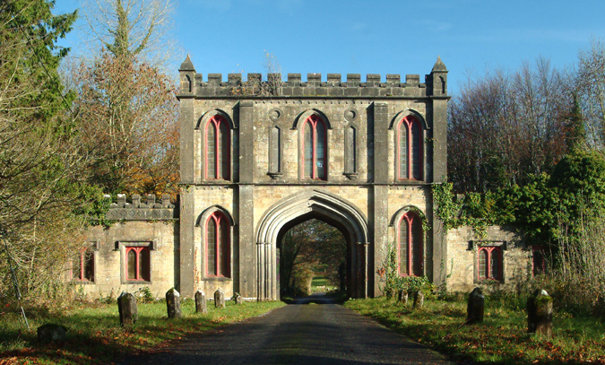 Enclosure in Ardlagheen BegEnclosure · 628 yd
 Quarry in Ardlagheen More OR Highlake,carrowduff UpperQuarry · 1308 yd
 Embanked enclosureFairy fort / earthen ringfort · 1522 yd
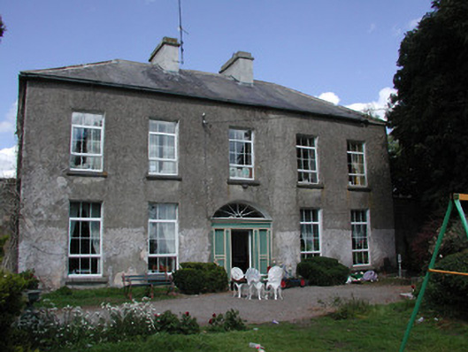 Ballymacurly Househouse · 1.2 mi
 HawthornHawthorn · 2.2 mi
 CastleCastle, Anglo-Norman masonry castle · 4.4 mi
 CastlerubyCastle, unclassified · 4.9 mi
 European ashEuropean ash · 5.9 mi
 Site of Killomaine Grave YardArchaeological place · 6.4 mi
 Roscommon CastleCastle · 6.7 mi
 Sally IslandIslet · 9.0 mi
 Mount MaryMountain / peak · 9.6 mi
Other information
Photo: Credit not shown in the picture search · Rights wording not checked; contact us if this picture should be removed