
What is recorded here
In pasture, on the broad level ridge top c. 25-30m W of a break of slope where ground falls away steeply to NE−E into a valley. An ESB pole stands close to the NW edge of the enclosure.
A roughly circular enclosure (diam. c. 60-65m) is visible in Lidar imagery and in aerial imagery (Digital globe, Google Earth). It is not shown on any edition of the OS 6-inch maps.
The enclosure was levelled at an unknown date in the past and is almost impossible to trace at ground level; a slight undulation is visible on the NE–E arc. The interior encompasses a slight dip in ground level, and a densely rush-grown area (c. 30-35m) of damp, soggy ground and standing water covers much of the E half of the interior. The original date and function of this enclosure is unclear.
Notified to NMS by Andrew Goodison.
Attached images:
SL034-264----_01.JPG Location viewed from W
SL034-264----_02.JPG Enclosure visible in Lidar image
Compiled by: Jane O’Shaughnessy
Date of upload: 2 March 2023
A local fairy fort (ringfort/rath); wider significance not recorded.
The monument record does not grant public access. Check the route and ask the landowner before entering private land.
- What survives
- Recorded monument
Places near here
 Indicated (1838).Enclosure · 81 yd
 Fulacht fia in Bellanagarrigeeny OR CastlebaldwinFulacht fia · 533 yd
 Castlebaldwincastle/fortified house · 570 yd
 Castle BaldwinCastle · 570 yd
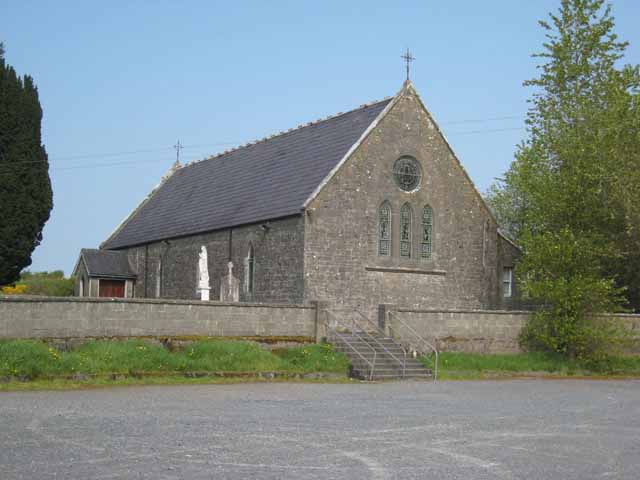 Saint Patrick's Catholic Churchchurch/chapel · 806 yd
 Annaghgowla IslandIslet · 1.3 mi
 Bricklieve Castle (in Ruins)Castle, unclassified · 1.5 mi
 InishmoreIslet · 1.8 mi
 Bricklieve MountainsMountain / peak · 2.0 mi
 Treanscrabbagh caveCave · 2.2 mi
 Carricknahorna EastMountain / peak · 2.6 mi
 School CaveCave · 2.8 mi
Other information
Photo: Credit not shown in the picture search · Rights wording not checked; contact us if this picture should be removed