
What is recorded here
'The remains of this enclosure are situated on the shoreline in an area of small storm beaches prone to flooding at high tide. Only a 45.0m long portion of the north west quadrant now survives. This bank is very low, averaging 0.25m in height and 1.50m in width, and seems to be constructed of earth.'
Compiled by Michael Connolly for the Archaeological Survey of Ireland as part of a survey of the Lee Valley area in 1996-97.
Date of upload: 03 May 2012
The monument record does not grant public access. Check the route and ask the landowner before entering private land.
- What survives
- Recorded monument
Places near here
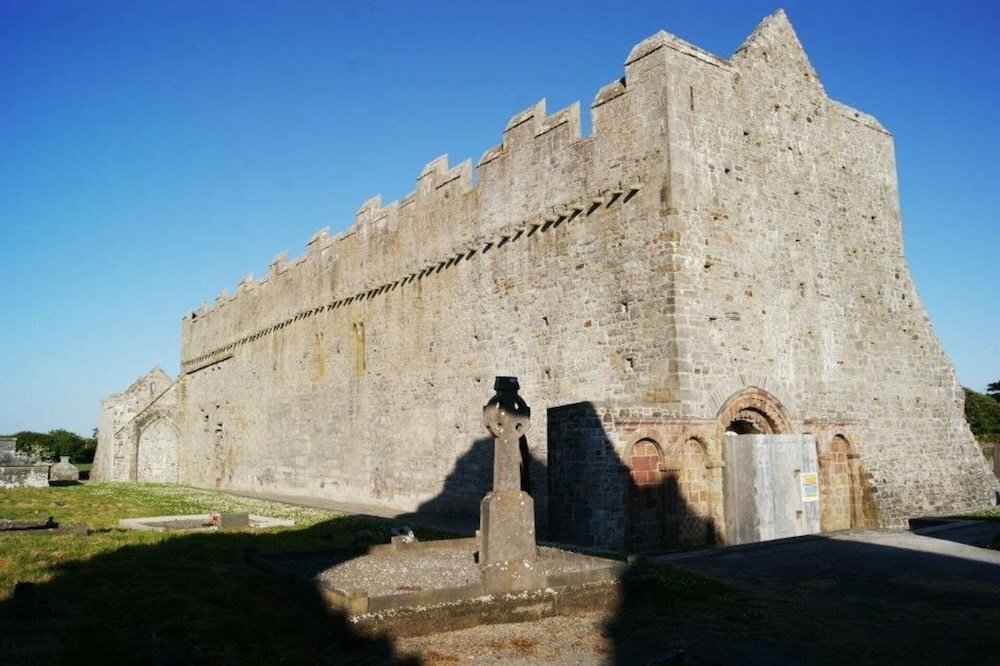 Tonakilla Fort, HachuredFairy fort / stone ringfort · 245 yd
 Annagh Church (in ruins)Church · 605 yd
 William Myles - Civil War MonumentWayside cross · 678 yd
 View of WindmillHeritage attraction · 1.1 mi
 Blennerville WindmillHeritage attraction · 1.1 mi
 mill (wind)mill (wind) · 1.1 mi
 Tralee Bay Wetlands Eco and Activity ParkNature reserve · 2.1 mi
 Knockmichael MountainMountain / peak · 2.4 mi
 Sonny McCarthy MemorialMonument · 2.6 mi
 Pádraig Mac PiaraisMemorial · 2.6 mi
 Castle MacallistrumCastle, unclassified · 2.6 mi
 GormaghMountain / peak · 2.8 mi
Other information
Photo: Credit not shown in the picture search · Rights wording not checked; contact us if this picture should be removed