
What is recorded here
On NW-facing slope in bogland. Marked on 1st and 2nd eds. of OS 6-inch maps as a circular enclosure (D c. 35m). No visible surface trace survives. The interior contained a CBG (GA091-005001-).
The above description is derived from the published 'Archaeological Inventory of County Galway Vol. I - West Galway'. Compiled by Paul Gosling (Dublin: Stationery Office, 1993).
Date of upload: 05 August 2010
The monument record does not grant public access. Check the route and ask the landowner before entering private land.
- What survives
- Recorded monument
Places near here
 Caorán an BhiorlaMountain / peak · 1.1 mi
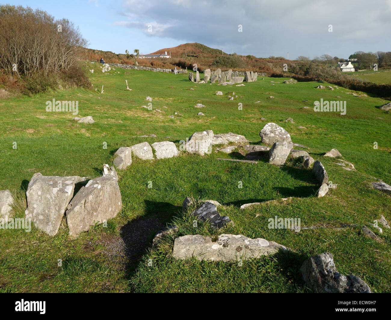 Druid's AltarNamed rock · 1.4 mi
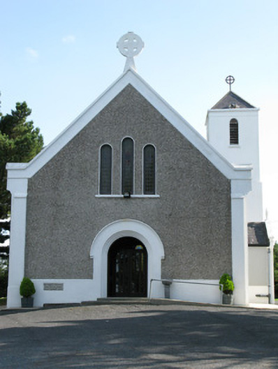 Cill Treasa Naomhta [Catholic Church of Saint Thérèse of the Child Jesus]church/chapel · 2.0 mi
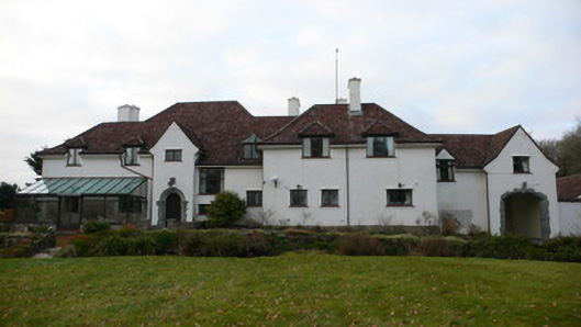 Costello Lodgehouse · 2.0 mi
 An Caorán DubhMountain / peak · 2.1 mi
 Tóin na hAirdeHeadland · 2.5 mi
 Enclosure in CladhnachEnclosure · 2.6 mi
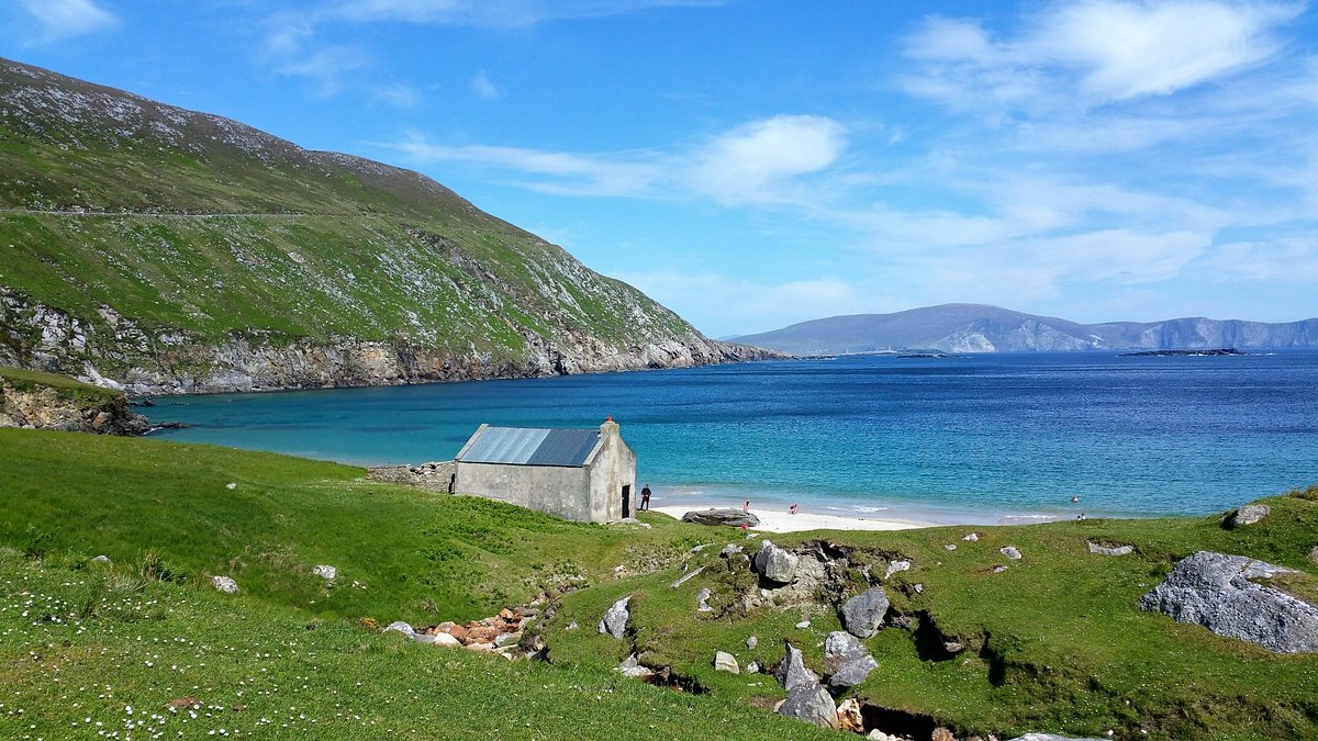 Oileán na bhFaochachaIslet · 2.8 mi
 Crannog in Baile Na Habhann TheasCrannog · 2.9 mi
 An Trá MhórBeach / strand · 2.9 mi
 CastleCastle, unclassified · 2.9 mi
 Trá an Chaoráin MhóirBeach / strand · 3.7 mi
Other information
Photo: Credit not shown in the picture search · Rights wording not checked; contact us if this picture should be removed