What is recorded here
Enclosure in An Carn Mór Thiar is a subrectangular grassland site on an east-facing slope in County Galway. Two banks and a rubble-filled fosse still mark its edges, while a sharp inner scarp closes the east side. A burial ground occupies the northeast quadrant, suggesting the space served the living and the dead alike. The northern bank remains the most visible, preserving the shape of a place where everyday work and memory likely crossed.
On an E-facing slope in grassland. This subrectangular enclosure (50m N-S; 43.5m E-W), in fair
condition, is defined by two banks and an intervening fosse. A scarp forms the inner enclosing element along the E side. The fosse survives from SW through N to NE and is for the most part filled with field-clearance rubble. The outer bank survives only along the N side. A burial ground (GA083-015001-) occupies the NE quadrant of the interior. (McCaffrey 1952, 112, no. 8; de hÓra 1991)
Compiled by: Galway Archaeological Survey, UCG
Date of upload: 19 February 2019
The monument record does not grant public access. Check the route and ask the landowner before entering private land.
- What survives
- Recorded monument
Places near here
 Man-made underground passage in An Carn Mór ThiarMan-made underground passage · 465 yd
 Castle (in ruins)Castle, unclassified · 1613 yd
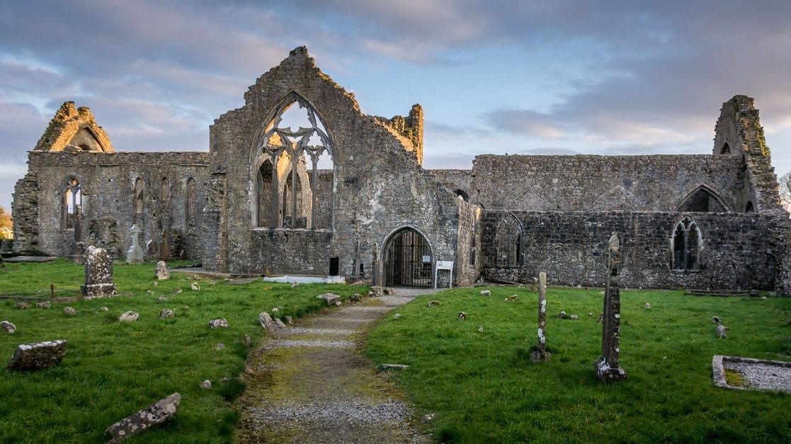 Enclosure in An Carn Mór ThiarEnclosure · 1623 yd
 Cloghmoyle Castle (in ruins)Castle, unclassified · 1.0 mi
 Quarry in Cashla (aughrim Ed )Quarry · 1.7 mi
 Cregmore Bridgebridge · 2.2 mi
 European BeechEuropean Beech · 3.8 mi
 Aunteen WoodsWood · 4.4 mi
 Royal Tara Visitor CentreHeritage attraction · 5.2 mi
 Leadmine HillMountain / peak · 5.4 mi
 Rabbit IslandIslet · 5.6 mi
 Ballyloughane BeachBeach / strand · 5.6 mi